![](/images/other/stat-length.png)
- Randonnées
- A pied
- Portugal
- Aire métropolitaine de Lisbonne
- Lisbonne
- Alcabideche
Alcabideche, Lisbonne, A pied : Les meilleures randonnées, itinéraires, parcours, balades et promenades
Alcabideche : découvrez les meilleures randonnées : 4 a pied. Tous ces circuits, parcours, itinéraires et activités en plein air sont disponibles dans nos applications SityTrail pour smartphones et tablettes.
Les meilleurs parcours (4)
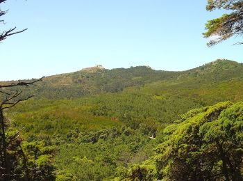
![Randonnée A pied Alcabideche - Rota das Aldeias - Photo](https://media.geolcdn.com/t/350/260/1662b714-65ff-4e48-b8db-cf8862f7331b.jpeg&format=jpg&maxdim=2)
![A pied A pied](https://static1.geolcdn.com/sitytour/trail-icons/100.png)
Km
A pied
![](/images/other/stat-length.png)
![](https://static1.geolcdn.com/siteimages/upload/files/1508320355ic_sort_den_pos_24dp.png)
![](https://static1.geolcdn.com/siteimages/upload/files/1508320355ic_sort_den_neg_24dp.png)
![](https://static1.geolcdn.com/siteimages/upload/files/16400158638029165_repeat_loop_refresh_sync_direction_icon.png)
• Randonnée créée par ICNF. Symbole: Yellow over Red
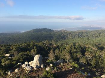
![Randonnée A pied Alcabideche - Rota do Litoral do Guincho - Photo](https://media.geolcdn.com/t/350/260/d0efbf21-31e4-4745-aafd-8841799d7931.jpeg&format=jpg&maxdim=2)
![A pied A pied](https://static1.geolcdn.com/sitytour/trail-icons/100.png)
Km
A pied
![](/images/other/stat-length.png)
![](https://static1.geolcdn.com/siteimages/upload/files/1508320355ic_sort_den_pos_24dp.png)
![](https://static1.geolcdn.com/siteimages/upload/files/1508320355ic_sort_den_neg_24dp.png)
![](https://static1.geolcdn.com/siteimages/upload/files/16400158638029165_repeat_loop_refresh_sync_direction_icon.png)
• Randonnée créée par ICNF. Symbole: Yellow over Red
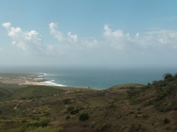
![Randonnée A pied Alcabideche - Rota das Quintas - Photo](https://media.geolcdn.com/t/350/260/9f499127-d374-46ef-9075-ed12256dc76c.jpeg&format=jpg&maxdim=2)
![A pied A pied](https://static1.geolcdn.com/sitytour/trail-icons/100.png)
Km
A pied
![](/images/other/stat-length.png)
![](https://static1.geolcdn.com/siteimages/upload/files/1508320355ic_sort_den_pos_24dp.png)
![](https://static1.geolcdn.com/siteimages/upload/files/1508320355ic_sort_den_neg_24dp.png)
![](https://static1.geolcdn.com/siteimages/upload/files/16400158638029165_repeat_loop_refresh_sync_direction_icon.png)
• Randonnée créée par ICNF.
![Randonnée A pied Alcabideche - Capuchos - Photo](https://media.geolcdn.com/t/350/260/92273925-c544-4e09-944e-022e7210bddd.jpeg&format=jpg&maxdim=2)
![A pied A pied](https://static1.geolcdn.com/sitytour/trail-icons/100.png)
Km
A pied
![](/images/other/stat-length.png)
![](https://static1.geolcdn.com/siteimages/upload/files/1508320355ic_sort_den_pos_24dp.png)
![](https://static1.geolcdn.com/siteimages/upload/files/1508320355ic_sort_den_neg_24dp.png)
![](https://static1.geolcdn.com/siteimages/upload/files/16400158638029165_repeat_loop_refresh_sync_direction_icon.png)
• Randonnée créée par ICNF.
4 randonnées affichées sur 4
Application GPS de randonnée GRATUITE