


12,8 km | 15,9 km-effort
Bragance : découvrez les meilleures randonnées : 46 a pied, 3 marche et 1 course à pied. Tous ces circuits, parcours, itinéraires et activités en plein air sont disponibles dans nos applications SityTrail pour smartphones et tablettes.
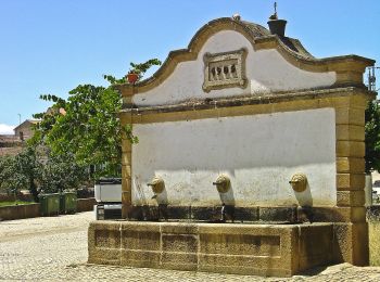
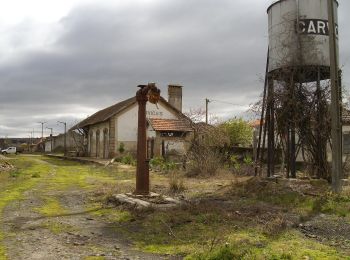
A pied


• Randonnée créée par Camara Municipal de Mirandela. Site web: http://www.visitmirandela.com/uploads/writer_file/doc...
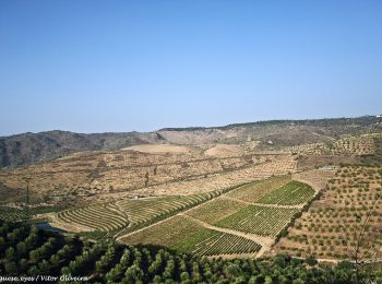
A pied
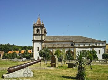
• Randonnée créée par Municipio de Bragança.
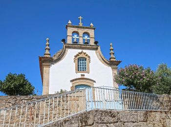
A pied
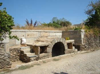
• Randonnée créée par Municipio de Bragança.
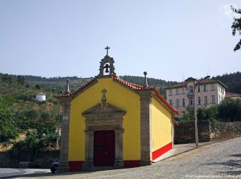
A pied
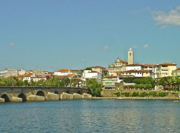
• Randonnée créée par Municipio de Mirandela.
A pied
• Randonnée créée par Município de Mirandela. Site web: http://www.visitmirandela.com/uploads/writer_file/document/7...

A pied
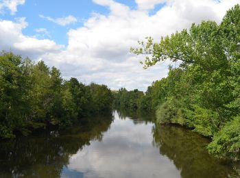
• Randonnée créée par Parque Natural Regional do Vale do Tua. Site web: https://www.cm-murca.pt/frontoffice/pages/707
A pied
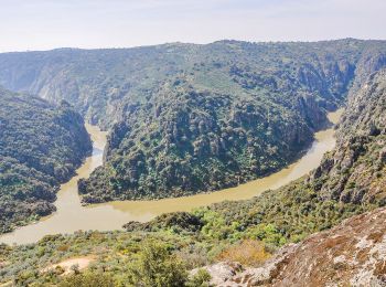
• Randonnée créée par Município de Miranda do Douro.
A pied
A pied
• Randonnée créée par Municipio de Bragança.
A pied
• Randonnée créée par Municipio de Bragança.
A pied
A pied
A pied
A pied
A pied
A pied
A pied
A pied
A pied
A pied
20 randonnées affichées sur 50
Application GPS de randonnée GRATUITE
 SityTrail
IGN / Instituts géographiques
SityTrail World
Le monde est à vous