


12,1 km | 22 km-effort
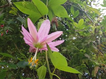
Madère : découvrez les meilleures randonnées : 31 a pied, 227 marche, 4 marche nordique, 2 course à pied et 1 trail. Tous ces circuits, parcours, itinéraires et activités en plein air sont disponibles dans nos applications SityTrail pour smartphones et tablettes.
Marche


• Variante courte
Marche
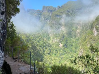
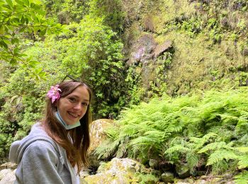
• levada et montee en deuxième partie
A pied
• Site web: http://www.visitmadeira.pt/en-gb/what-to-do/activities/search/pr1-vereda-do-areeiro
A pied
• Site web: http://www.visitmadeira.pt/en-gb/what-to-do/activities/search/pr18-levada-do-rei
Marche
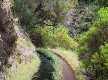
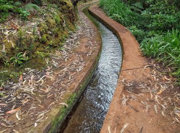
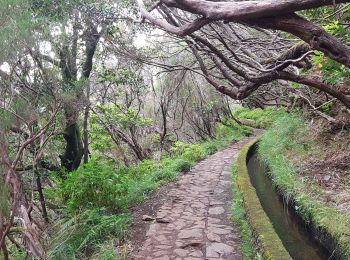
• Levada
Marche
• Magnifique 🤩😎👍
Marche
• Levada
Marche
• Magnifique mais tout de même difficile
Marche
• Très belle randonnée en suivant une Levada tout le long.
Marche
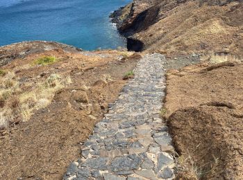
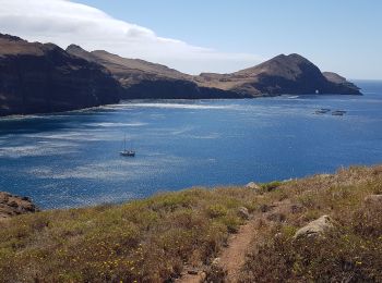
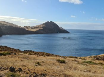
• Presqu'île de Sao Lourenço. Bel itinéraire qui change des Levadas et Veradas, malheureusement très fréquenté. Beaux p...
Marche
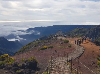
• Belle ascension jusqu'au sommet de l'île; la fin, en escaliers est raide. Partir tôt pour éviter le monde et la cha...
Marche
• Improvisation après le chemin barré (éboulement des passerelles) de la boucle de Jardim do Mar. Dommage, mais ça ne p...
Marche
• Belle balade, levada typique. sans dénivelé mais 13 km, c'est déjà pas mal. Pas beaucoup de monde, parfait. Petit tun...
Marche
• Très belle levada. bien mieux que les 25 fontes, ombragée, beaux paysages, quasiment personne à l'aller, six personne...
Marche
• Finalement, on ne prendra pas le sentier piéton, car il n'est plus balisé et jugé dangereux à cause des chutes de pie...
Marche
• Levada très connue, mais pas forcément la plus belle; déjà beaucoup de monde fin mai, beaucoup de marches et escalier...
Marche
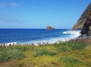
• Nous évoluerons dans un décor ocre et minéral, nous découvrirons le long de la mer l'oasis de Casa do Sardinha et ses...
Marche
• Très beau et varié. Les 20 derniers mètres à faire les sangliers pour éviter la route.
Marche
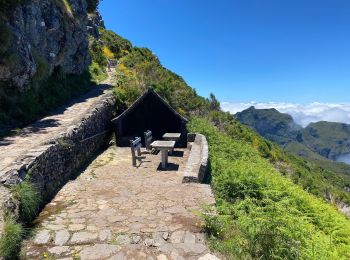
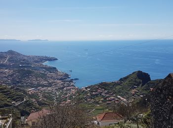
• Randonnée sur le Levada de Norte au départ du Cabo Girao, 2è promontoire le plus élevé d'Europe (580 m, accès gratuit...
Marche
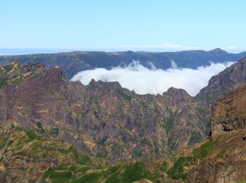
• Très belle randonnée à faire si vous avez une bonne condition physique et si le sommet est dégagé. Il est indispensab...
20 randonnées affichées sur 265
Application GPS de randonnée GRATUITE
 SityTrail
IGN / Instituts géographiques
SityTrail World
Le monde est à vous