


9,6 km | 11,9 km-effort
powiat zamojski : découvrez les meilleures randonnées : 11 a pied. Tous ces circuits, parcours, itinéraires et activités en plein air sont disponibles dans nos applications SityTrail pour smartphones et tablettes.
A pied


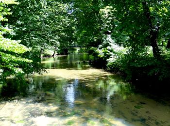
• Randonnée créée par Gmina Zwierzyniec. Symbole: znaki niebieskie
A pied
• Randonnée créée par Zespół Lubelskich Parków Krajobrazowych.
A pied
• Randonnée créée par Gmina Skierbieszów. Symbole: black bar on white ground
A pied
A pied

A pied
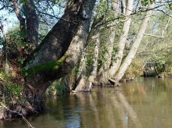
• Randonnée créée par Nadleśnictwo Krasnystaw.
A pied
• Randonnée créée par Nadleśnictwo Krasnystaw.
A pied
• Randonnée créée par Nadleśnictwo Krasnystaw.
A pied
• Randonnée créée par Nadleśnictwo Krasnystaw.
A pied
• Randonnée créée par Nadleśnictwo Krasnystaw.
A pied
• Randonnée créée par Nadleśnictwo Krasnystaw.
11 randonnées affichées sur 11
Application GPS de randonnée GRATUITE
 SityTrail
IGN / Instituts géographiques
SityTrail World
Le monde est à vous