


29 km | 46 km-effort
Canterbury : découvrez les meilleures randonnées : 10 a pied et 6 marche. Tous ces circuits, parcours, itinéraires et activités en plein air sont disponibles dans nos applications SityTrail pour smartphones et tablettes.

A pied


• Enjoy magnificent views over Banks Peninsula, the Canterbury plains, Southern Alps and Pacific Ocean on this track, w...
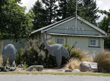
A pied
• Randonnée créée par Department of Conservation.
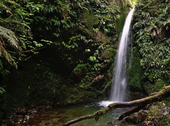
A pied
• Randonnée créée par Department of Conservation.
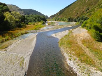
A pied
• Randonnée créée par Department of Conservation.

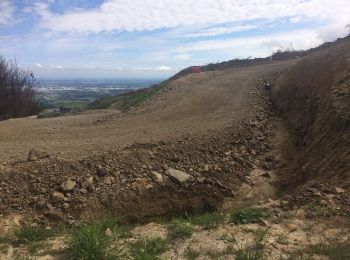
A pied
• Randonnée créée par Department of Conservation.
A pied
• Randonnée créée par Sally and David Handyside.
A pied

A pied
A pied
Marche
• Rencontre Otaries

A pied

Marche
Marche
Marche
Marche
Marche
16 randonnées affichées sur 16
Application GPS de randonnée GRATUITE
 SityTrail
IGN / Instituts géographiques
SityTrail World
Le monde est à vous