


14,1 km | 24 km-effort
Rogaland : découvrez les meilleures randonnées : 7 a pied, 15 marche et 1 course à pied. Tous ces circuits, parcours, itinéraires et activités en plein air sont disponibles dans nos applications SityTrail pour smartphones et tablettes.

Marche


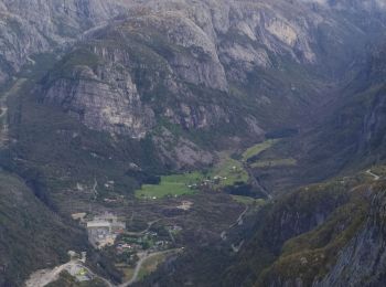
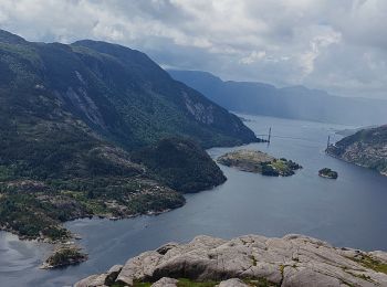
• PREIKESTOLEN le lieu le plus visité de Norvège. Autoroute a touristes ( dont moi ! ) mais superbe. Vue imprenable sur...
Marche
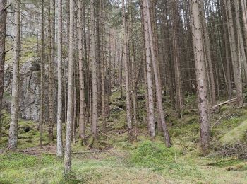
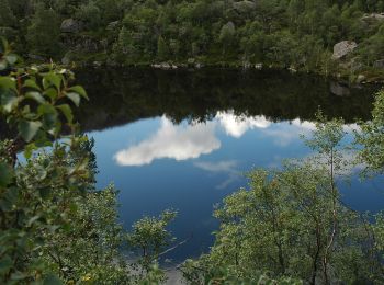
• Randonnée au milieu des bois très calme. Beaux points de vue au sommet de la montagne. Peu de monde. Stationnement d...
Marche
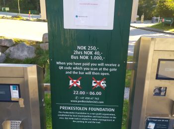
• la randonnée la plus touristique... parking payant. attention aux glissades si pluie ou humidité. partir tôt car gros...
Marche
• Magnifique randonnée à éviter par temps humide et pluie car rocher glissant notamment au niveau des chaines. De mon a...
A pied
• Des lacs des montagnes et des lacs ...
Marche
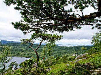
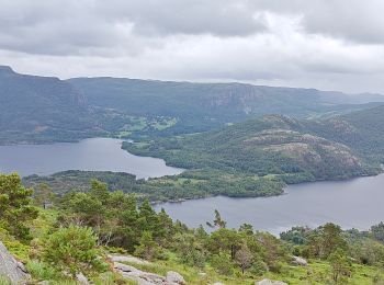
• Superb point de vue sur le Fjord Accès facile, un seul passage légèrement "acrobatique"
A pied

Marche
• Contourner le golf
Marche
• 8 kms

A pied
A pied

Course à pied
Marche
Marche
Marche
Marche
20 randonnées affichées sur 23
Application GPS de randonnée GRATUITE
 SityTrail
IGN / Instituts géographiques
SityTrail World
Le monde est à vous