


7,9 km | 11,5 km-effort
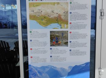
Vestland : découvrez les meilleures randonnées : 106 a pied, 43 marche et 1 trail. Tous ces circuits, parcours, itinéraires et activités en plein air sont disponibles dans nos applications SityTrail pour smartphones et tablettes.
Marche


• Beaux points de vue sur Bergen et les montagnes environnantes. Sentier difficile à voir par endroits. Attention jours...
Marche
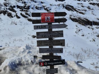
• Départ de la randonnée a droite au fond du quai. Attention au passage sous la voie ferrée, plaque de glace très très ...
Marche
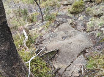
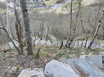
• Très belle cascade. Accès par chemin en escalier en pierre. Suite de la montée sur chemin en lacets. Enregistrement u...
Marche
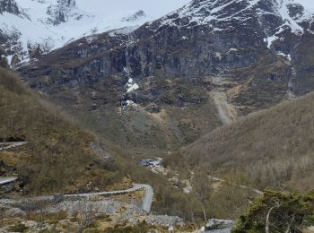
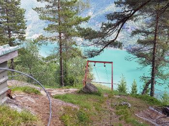
• Chemin agréable et préférez passer par la cascade en montant. Très belle vue sur le glacier et son lac
Marche
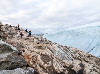
• Très beaux panoramas en cette fin d'hiver. De la neige présente necessite quelques équipements pour randonner.

A pied
• Randonnée créée par Kvinnherad Turlag.
A pied
• Randonnée créée par Den Norske Turistforening.
A pied
• Randonnée créée par Kvinnherad Turlag.
A pied
• Randonnée créée par Kvinnherad Turlag.
A pied
• Randonnée créée par Kvinnherad Turlag.
A pied
• Randonnée créée par Kvinnherad Turlag.
A pied
• Randonnée créée par Kvinnherad Turlag.
A pied
• Randonnée créée par Kvinnherad Turlag.

A pied
• Randonnée créée par Kvinnherad Turlag.

A pied
• Randonnée créée par Vik Turlag. Symbole: Red paint
A pied
• Randonnée créée par Vik Turlag. Symbole: Red paint
A pied
• Randonnée créée par Vik turlag.
A pied
• Randonnée créée par Balestrand og Høyanger Turlag.
A pied
• Randonnée créée par Lærdal turlag.
A pied
• Randonnée créée par Balestrand og Høyanger Turlag. Symbole: Red paint
20 randonnées affichées sur 150
Application GPS de randonnée GRATUITE
 SityTrail
IGN / Instituts géographiques
SityTrail World
Le monde est à vous