


12,9 km | 16,3 km-effort
Vaals : découvrez les meilleures randonnées : 20 a pied, 64 marche, 1 marche nordique et 1 course à pied. Tous ces circuits, parcours, itinéraires et activités en plein air sont disponibles dans nos applications SityTrail pour smartphones et tablettes.
Marche


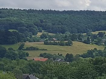
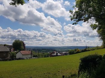
• ℹ www.wandelgidszuidlimburg.com n° 788. ➡️ Cette balade vallonnée et très panoramique se compose de 2 boucles différe...
Marche
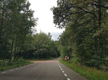
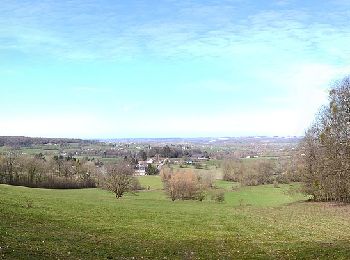
• ℹ www.wandelgidszuidlimburg.com n° 235. ➡️ Cette randonnée d'altitude avec des dénivelés traverse le territoire allem...
Marche
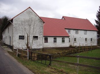
• ℹ www.visitzuidlimburg.nl ➡️ Cet itinéraire pédestre est l'une des quatre promenades spécialement aménagées pour les ...
Marche
• Belle randonnée transfrontalière passant par les 3 pays 🇧🇪🇳🇱🇩🇪. Gpx pris de www.wandelgidszuidlimburg.com n° 14...
Marche
• Au cours de cette promenade facile à travers le pays vallonné, vous marchez faussement à plat jusqu'au hameau de Harl...
A pied
• Symbole: blauwe palen
A pied
• Symbole: witte palen
A pied
• Symbole: rode palen
A pied
• Symbole: groene palen
A pied
• Deze wandeling loopt door het Elzetterbos, een rustig deel van het Vijlenerbos. Heel geschikt om in alle stilte en ru...
A pied
• Symbole: groene palen Site web: https://www.visitzuidlimburg.nl/te-doen-in-zuid-limburg/routes-in-zuid-limburg/deta...
A pied
• Randonnée créée par Staatsbosbeheer. Symbole: gele palen Site web: https://www.visitzuidlimburg.nl/te-doen-in-zuid...
A pied
• Symbole: blauwe palen
A pied
• Randonnée créée par Staatsbosbeheer. Site web: https://www.visitzuidlimburg.nl/te-doen-in-zuid-limburg/routes-in-z...
A pied
• Symbole: groene palen
A pied
• Symbole: blauwe palen
A pied
• Symbole: gele palen
A pied
• Symbole: gele palen
A pied
• Symbole: gele palen
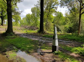
A pied
• Symbole: rode palen Site web: https://www.staatsbosbeheer.nl/routes/zuid-limburg/wandelroute-drie-stenenroute-sbb38
20 randonnées affichées sur 85
Application GPS de randonnée GRATUITE
 SityTrail
IGN / Instituts géographiques
SityTrail World
Le monde est à vous