


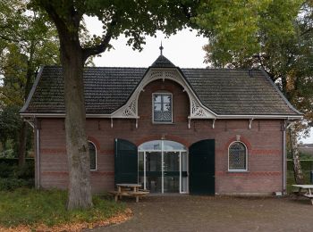
9,3 km | 10 km-effort
Brummen : découvrez les meilleures randonnées : 6 a pied et 1 marche. Tous ces circuits, parcours, itinéraires et activités en plein air sont disponibles dans nos applications SityTrail pour smartphones et tablettes.
A pied


• Randonnée créée par Klompenpaden.nl. Niet geschikt voor kinderwagens of rolstoelen. In geval van regen wordt waterdi...
A pied
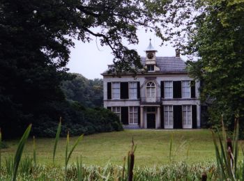
• Wandel vanaf de oude dijk naar het Laarzenpad, dwars door een natuurreservaat. Site web: https://www.ns.nl/dagje-uit...
A pied
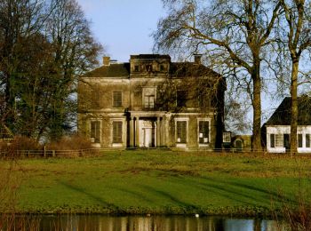
• Wandel vanaf de oude dijk naar het Laarzenpad, dwars door een natuurreservaat. Site web: https://www.ns.nl/dagje-uit...
A pied
A pied
A pied

Marche
• More information on GPStracks.nl : http://www.gpstracks.nl
7 randonnées affichées sur 7
Application GPS de randonnée GRATUITE
 SityTrail
IGN / Instituts géographiques
SityTrail World
Le monde est à vous