


6 km | 8 km-effort
Mexique : découvrez les 9 meilleurs circuits de randonnée pédestre ou à vélo. Notre catalogue préparé à la main par nos randonneurs regorge de superbes paysages qui n'attendent qu'à être explorés. Téléchargez ces itinéraires dans SityTrail, notre application de GPS de randonnée gratuite disponible sur Android et iOS.
Trail


• Terreno técnico para trail runnig

Trail
• Técnica de carrera y trabajo de habilidades.
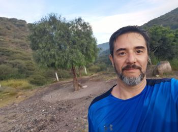
Course à pied
• Pura pista

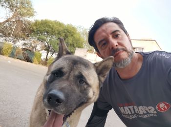
Trail
• Técnica de carrera

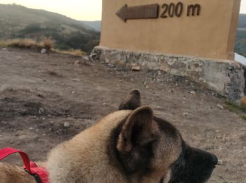
Trail
• Una vieltita al cerro
Marche

Marche
• 17 de Octubre
Marche
• Mexic
Marche
9 randonnées affichées sur 9
Application GPS de randonnée GRATUITE
 SityTrail
IGN / Instituts géographiques
SityTrail World
Le monde est à vous