


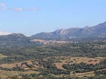
8,9 km | 11,6 km-effort
Sassari : découvrez les meilleures randonnées : 17 a pied, 22 marche et 2 course à pied. Tous ces circuits, parcours, itinéraires et activités en plein air sont disponibles dans nos applications SityTrail pour smartphones et tablettes.
A pied


• Randonnée créée par Comune di Sassari. Symbole: 003 on white red flag
A pied
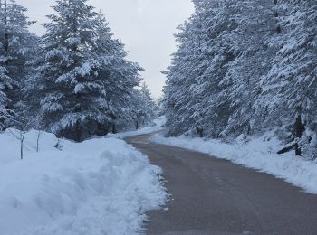
• Sentiero Italia CAI 2019
A pied
• Sentiero Italia CAI 2019
A pied
• Sentiero Italia CAI 2019
A pied
• Sentiero Italia CAI 2019
A pied
• Sentiero Italia CAI 2019

A pied
• Sentiero Italia CAI 2019
A pied
• Sito ufficiale del Parco Naturale di Porto Conte e Area Marina Protetta Capo Caccia - isola Piana. Natura e Territori...
A pied
• Sito ufficiale del Parco Naturale di Porto Conte e Area Marina Protetta Capo Caccia - isola Piana. Natura e Territori...

Marche
• Rouge (Rother 1) / Prévoir pantalon (maquis)
A pied
A pied
A pied
A pied
A pied
A pied
A pied
Marche
• départ de la terrasse, rejoindre la mer puis par la droite passant par plage du centre faire le tour du littoral et r...
Marche
Marche
• test
20 randonnées affichées sur 41
Application GPS de randonnée GRATUITE
 SityTrail
IGN / Instituts géographiques
SityTrail World
Le monde est à vous