


8,6 km | 19,2 km-effort
Vinadio : découvrez les meilleures randonnées : 12 a pied, 49 marche et 2 marche nordique. Tous ces circuits, parcours, itinéraires et activités en plein air sont disponibles dans nos applications SityTrail pour smartphones et tablettes.
A pied


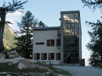
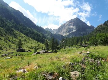
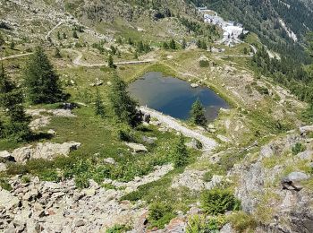
• From the Malinvern hut a steep trail, through larch woods and pastures, climbs to Lake Malinvern, continues along scr...
A pied
• Randonnée pédestre - Haut pays : Au départ du Sanctuaire de Sainte-Anne (2 035 mètres) Site web: https://randoxygene...
A pied
• Sentiero Italia CAI 2019
A pied
• Sentiero Italia CAI 2019
Marche
Marche
Marche nordique
• facile
Marche
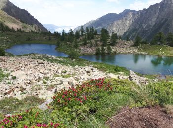
• A/R sur GR. Piste large puis sentier zig zag. Nombreuses fleurs de montagnes et vue superbe sur le Malinvern, côté it...
Marche
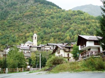
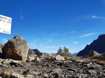
• Du Col de la Lombarde versl'Italie ... Parking après le Sanctuaire Sant'Anna di Vinadio. Détours vers plusieurs lacs ...
A pied
A pied
• Sentiero Italia CAI 2019
A pied
Marche
Marche
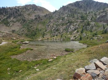
• 25 lacs
Marche
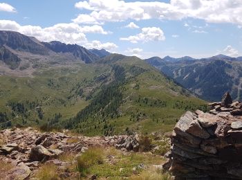
• Belle course de crêtes avec peu de dénivelé. Paysages à 360°. Boucle faisable en Marche Nordique sportive.
Marche
• Belle course de crêtes avec peu de dénivelé. Paysages à 360°. Boucle faisable en Marche Nordique sportive.
Marche
• départ du sanctuaire de saint anne et de vinadio. la durée est moindre car nous avons beaucoup flâner. rando donnée p...

Marche

Marche
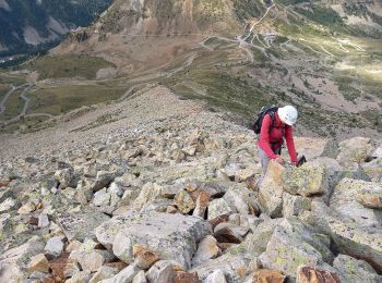
• randonnée éprouvante : dénivelés positifs et négatifs très importants. passage par le village de Ciarelli, le lac Sai...
Marche
• J2 Santa Anna Tête de Colle Haute, Cime de Sespoul, Cime Sud du Lausfer, Tête Haute du Lausfer, Tête Rougnouse de la ...
20 randonnées affichées sur 62
Application GPS de randonnée GRATUITE
 SityTrail
IGN / Instituts géographiques
SityTrail World
Le monde est à vous