


6,6 km | 16,3 km-effort
Caprezzo : découvrez les meilleures randonnées : 3 a pied. Tous ces circuits, parcours, itinéraires et activités en plein air sont disponibles dans nos applications SityTrail pour smartphones et tablettes.
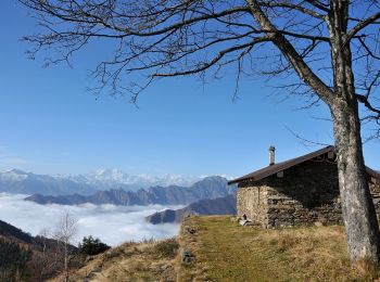
A pied


• Report maintained by path detectors CAI SOSEC Piemonte - MT Symbole: white red flag
A pied
• Report maintained by path detectors CAI SOSEC Piemonte - MT Symbole: white red flag

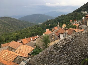
A pied
• Symbole: red and white stripe, parallel and next to each other
3 randonnées affichées sur 3
Application GPS de randonnée GRATUITE
 SityTrail
IGN / Instituts géographiques
SityTrail World
Le monde est à vous