


14 km | 26 km-effort
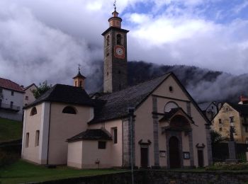
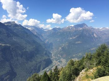
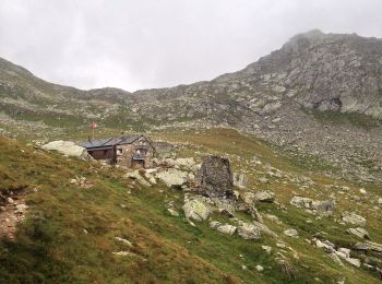
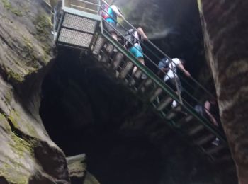
Baceno : découvrez les meilleures randonnées : 9 a pied et 6 marche. Tous ces circuits, parcours, itinéraires et activités en plein air sont disponibles dans nos applications SityTrail pour smartphones et tablettes.
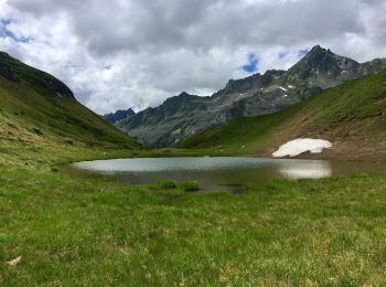
A pied


• Sentiero Italia CAI 2019
A pied
• Relation with Google Earth photos (click on → web site) mantained by Danilo (CAI Pallanza) Symbole: white red flags
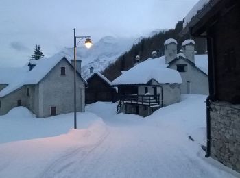
Marche
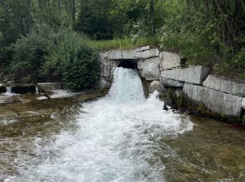
A pied
A pied
A pied
A pied
A pied
A pied
Marche
A pied
Marche
Marche

Marche
•
Marche
•
15 randonnées affichées sur 15
Application GPS de randonnée GRATUITE
 SityTrail
IGN / Instituts géographiques
SityTrail World
Le monde est à vous