


41 km | 52 km-effort
Lucques : découvrez les meilleures randonnées : 7 a pied et 6 marche. Tous ces circuits, parcours, itinéraires et activités en plein air sont disponibles dans nos applications SityTrail pour smartphones et tablettes.
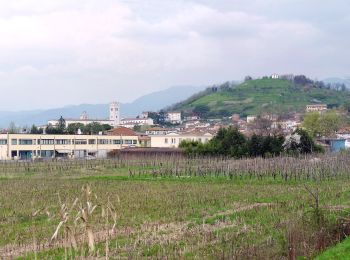
A pied


• Randonnée créée par Comune di Capannori.
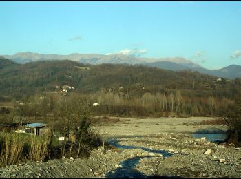
A pied
• Randonnée créée par Comune di Capannori.
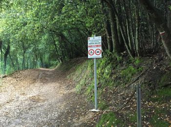
A pied
• Randonnée créée par Comune di Lucca. Symbole: 108 on white red flag
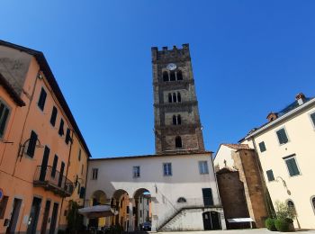
Marche
• Randonnée Marche de 17,3 km à découvrir à Toscane, Lucca, Lucques. Cette randonnée est proposée par patrickdanilo.
A pied
• Randonnée créée par Comune di Lucca. Symbole: 110 on white red flag
A pied
• Randonnée créée par Comune di Lucca. Symbole: 106 on white red flag

A pied
• Randonnée créée par Comune di Lucca. Symbole: 112 on white red flag

Marche
• Cette variante est la plus longue, il existe une variante de cette variante avec un "raccourci"
Marche
• Ceci est l'étape officielle de la Via Francigena. Elle suit beaucoup de routes : il existe une variante plus longue,...
A pied
Marche
Marche
Marche
13 randonnées affichées sur 13
Application GPS de randonnée GRATUITE
 SityTrail
IGN / Instituts géographiques
SityTrail World
Le monde est à vous