


7,9 km | 10,3 km-effort
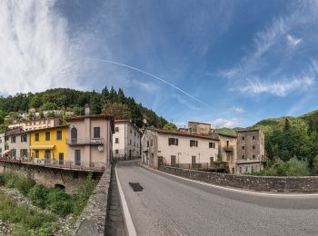
Pistoia : découvrez les meilleures randonnées : 11 a pied. Tous ces circuits, parcours, itinéraires et activités en plein air sont disponibles dans nos applications SityTrail pour smartphones et tablettes.
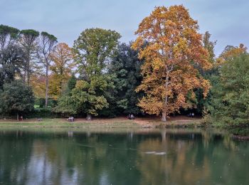
A pied


• Randonnée créée par C.A.I..
A pied
• Sentiero Italia CAI 2019
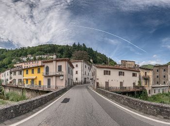
A pied
• Randonnée créée par Provincia di Pistoia.
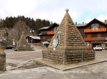
A pied
• Randonnée créée par CAI Pistoia.
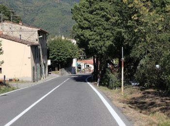
A pied
• Randonnée créée par CAI Pistoia.

A pied
• Randonnée créée par CAI Pistoia.
A pied
• Randonnée créée par CAI Prato.
A pied
• Randonnée créée par CAI.
A pied
• Randonnée créée par CAI Prato.
A pied
• Randonnée créée par CAI Pistoia.

A pied
• Randonnée créée par C.A.I..
11 randonnées affichées sur 11
Application GPS de randonnée GRATUITE
 SityTrail
IGN / Instituts géographiques
SityTrail World
Le monde est à vous