


4,9 km | 8,2 km-effort
Messine : découvrez les meilleures randonnées : 35 a pied et 45 marche. Tous ces circuits, parcours, itinéraires et activités en plein air sont disponibles dans nos applications SityTrail pour smartphones et tablettes.
A pied


• Symbole: red:red:white_bar:CS:black
A pied
• Symbole: red:green:white_bar:RR:black
A pied
• Symbole: red
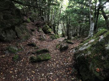
A pied
• Sentiero Italia CAI 2019
A pied
• Sentiero Italia CAI 2019

A pied
• Sentiero Italia CAI 2019

A pied
• Sentiero Italia CAI 2019
A pied
• Sentiero Italia CAI 2019

A pied
• Sentiero Italia CAI 2019
A pied
• Sentiero Italia CAI 2019
A pied
• Sentiero Italia CAI 2019
A pied
• Sentiero Italia CAI 2019
A pied
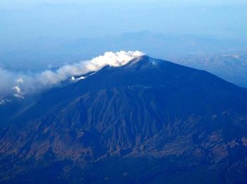
• Randonnée créée par Parco dell'Etna. Symbole: 720 on white red flag
A pied
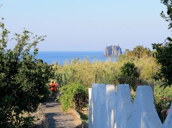
• Randonnée créée par Il Vulcano a Piedi – Excursions and Tours to Stromboli. Site web: http://www.ilvulcanoapiedi.it

Marche
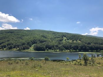
• Parcours en montant dès le départ. Beau panorama sur l'Etna et la baie de Taormina
A pied
A pied
A pied
• Sentiero Italia CAI 2019

A pied
A pied
20 randonnées affichées sur 80
Application GPS de randonnée GRATUITE
 SityTrail
IGN / Instituts géographiques
SityTrail World
Le monde est à vous