


6,2 km | 10,9 km-effort
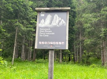
Innichen - San Candido : découvrez les meilleures randonnées : 17 a pied et 2 marche. Tous ces circuits, parcours, itinéraires et activités en plein air sont disponibles dans nos applications SityTrail pour smartphones et tablettes.
Marche


• J1 du trek Traversée des dolomites Refuge Dreischusterhütte
A pied
• Randonnée créée par AVS.
A pied
• Randonnée créée par AVS.
A pied
• Randonnée créée par AVS.
A pied
• Randonnée créée par AVS.
A pied
• Randonnée créée par AVS.
A pied
• Randonnée créée par Alpeverein SüdTirol (AVS). Symbole: 8 on white red flag
A pied
• Randonnée créée par AVS - Club Alpino Italiano. Symbole: 105 on white red flag
A pied
• Randonnée créée par AVS.
A pied
A pied
A pied
A pied
A pied
• Randonnée créée par Alpeverein SüdTirol (AVS).
A pied
• Randonnée créée par Alpeverein SüdTirol (AVS).

Marche
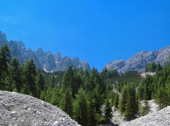
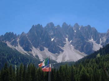
• J2 du Trek traversée des Dolomites Tre cime Lavareddo Refuge Locatelli

A pied
• Randonnée créée par AVS.
A pied
• Randonnée créée par AVS.
A pied
19 randonnées affichées sur 19
Application GPS de randonnée GRATUITE
 SityTrail
IGN / Instituts géographiques
SityTrail World
Le monde est à vous