


21 km | 0 m-effort
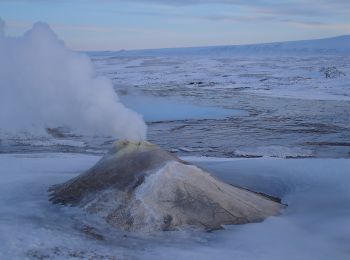
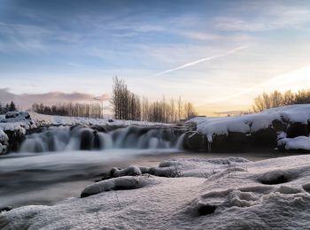
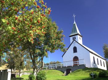
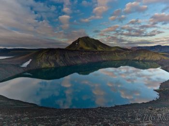
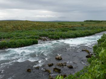
Islande : découvrez les 48 meilleurs circuits de randonnée pédestre ou à vélo. Notre catalogue préparé à la main par nos randonneurs regorge de superbes paysages qui n'attendent qu'à être explorés. Téléchargez ces itinéraires dans SityTrail, notre application de GPS de randonnée gratuite disponible sur Android et iOS.
A pied


• kein eindeutiges Wanderzeichen - allgemeines Symbol gewählt, 160km Symbole: Der Weg ist ausgeschildert und mit Stein...

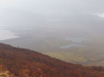
A pied
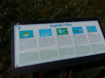
A pied

A pied
A pied
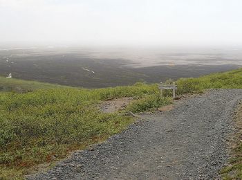
A pied
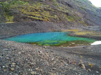
A pied
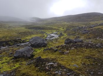
A pied
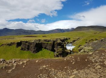
Marche
Marche
Marche
Marche
Marche
Marche
Marche
A pied

A pied
Marche
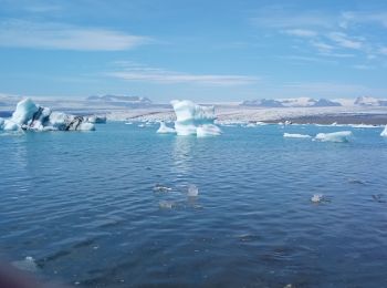
• randonnée sur la rive est du lac glaciaire.
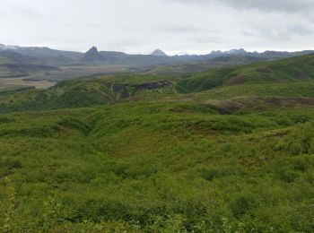
Marche

Trail
• trail van base camp naar geothermisch gebied
20 randonnées affichées sur 48
Application GPS de randonnée GRATUITE
 SityTrail
IGN / Instituts géographiques
SityTrail World
Le monde est à vous