


3,1 km | 4,7 km-effort
Inconnu : découvrez les meilleures randonnées : 32 a pied et 4 marche. Tous ces circuits, parcours, itinéraires et activités en plein air sont disponibles dans nos applications SityTrail pour smartphones et tablettes.
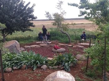
A pied


• Randonnée créée par itc.

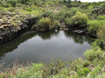
A pied
• Randonnée créée par itc.

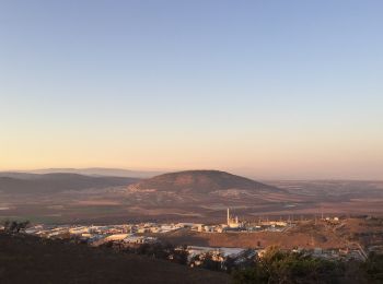
A pied
• Randonnée créée par itc.
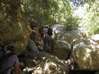
A pied
• Randonnée créée par itc.
A pied
• Randonnée créée par itc.
A pied
• Randonnée créée par itc.

A pied
• Randonnée créée par itc.
A pied
• Randonnée créée par itc.
A pied
• Randonnée créée par itc.
A pied
• Randonnée créée par itc.
A pied
• Randonnée créée par itc.
A pied
• Randonnée créée par itc.
A pied
• Randonnée créée par itc.
A pied
• Randonnée créée par itc.

A pied
• Randonnée créée par itc.
A pied
• Randonnée créée par itc.
A pied
• Randonnée créée par itc.
A pied
• Randonnée créée par itc.
A pied
• Randonnée créée par itc.
A pied
• Randonnée créée par itc.
20 randonnées affichées sur 36
Application GPS de randonnée GRATUITE
 SityTrail
IGN / Instituts géographiques
SityTrail World
Le monde est à vous