


37 km | 55 km-effort
Nógrád megye : découvrez les meilleures randonnées : 76 a pied. Tous ces circuits, parcours, itinéraires et activités en plein air sont disponibles dans nos applications SityTrail pour smartphones et tablettes.
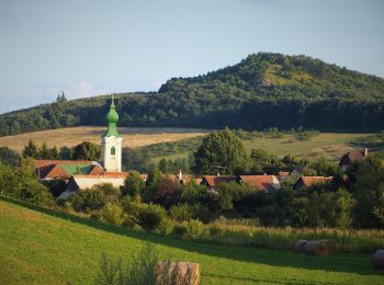
A pied


• Randonnée créée par Zöld Út Természetjárók Egyesülete.
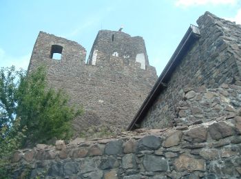
A pied
• Randonnée créée par MUTKE.
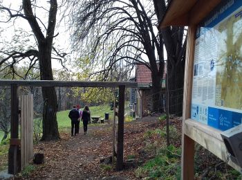
A pied
• Randonnée créée par BTHE.
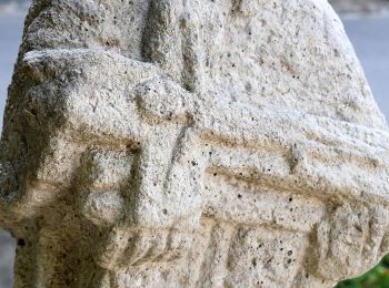
A pied
• Randonnée créée par BTHE.
A pied
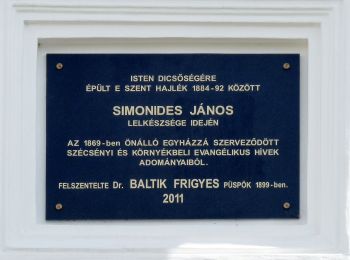
• Randonnée créée par Magyarországi Evangélikus Egyház.
A pied
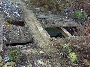
• Randonnée créée par Bükki Nemzeti Park Igazgatóság. abandoned, most boards missing

A pied
• Symbole: red cross
A pied
• Symbole: red cross
A pied
• Symbole: red triangle
A pied
• Symbole: green cross
A pied
• Randonnée créée par MUTKE. Symbole: purple m Site web: http://mariaut.hu
A pied
• Randonnée créée par MUTKE. Symbole: purple m Site web: http://mariaut.hu
A pied
• Randonnée créée par MUTKE. Symbole: purple m Site web: http://mariaut.hu
A pied
• Randonnée créée par BTHE. Symbole: red cross
A pied
• Symbole: yellow_cross
A pied
• Symbole: red square

A pied
• Symbole: green circle
A pied
• Folytatódik észak-kelet felé, együtt a P+ jelzéssel.
A pied
A pied
20 randonnées affichées sur 76
Application GPS de randonnée GRATUITE
 SityTrail
IGN / Instituts géographiques
SityTrail World
Le monde est à vous