![](/images/other/stat-length.png)
- Randonnées
- A pied
- Hongrie
- Hongrie centrale
- Budapest
- Inconnu
- II. kerület
II. kerület, Inconnu, A pied : Les meilleures randonnées, itinéraires, parcours, balades et promenades
II. kerület : découvrez les meilleures randonnées : 6 a pied. Tous ces circuits, parcours, itinéraires et activités en plein air sont disponibles dans nos applications SityTrail pour smartphones et tablettes.
Les meilleurs parcours (6)
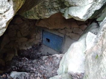
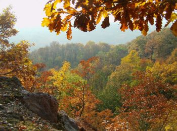
![Randonnée A pied Inconnu - Hárs-hegyi tanösvény (Szent Ferenc Kórház - Szépjuhászné - Szent Ferenc Kórház) - Photo](https://media.geolcdn.com/t/350/260/ef274c3a-3838-46c3-be36-1bb2cf221eb5.jpeg&format=jpg&maxdim=2)
![A pied A pied](https://static1.geolcdn.com/sitytour/trail-icons/100.png)
Km
A pied
![](/images/other/stat-length.png)
![](https://static1.geolcdn.com/siteimages/upload/files/1508320355ic_sort_den_pos_24dp.png)
![](https://static1.geolcdn.com/siteimages/upload/files/1508320355ic_sort_den_neg_24dp.png)
![](https://static1.geolcdn.com/siteimages/upload/files/16400158638029165_repeat_loop_refresh_sync_direction_icon.png)
• Symbole: red T
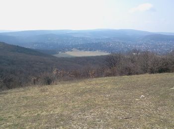
![Randonnée A pied Inconnu - K+ (Remete-hegyi-nyereg - Mátyás-hegy - Katinyi mártírok parkja, vill. mh.) - Photo](https://media.geolcdn.com/t/350/260/7720cb0e-1d48-4e2c-b2bf-928cdb5a44d5.jpeg&format=jpg&maxdim=2)
![A pied A pied](https://static1.geolcdn.com/sitytour/trail-icons/100.png)
Km
A pied
![](/images/other/stat-length.png)
![](https://static1.geolcdn.com/siteimages/upload/files/1508320355ic_sort_den_pos_24dp.png)
![](https://static1.geolcdn.com/siteimages/upload/files/1508320355ic_sort_den_neg_24dp.png)
![](https://static1.geolcdn.com/siteimages/upload/files/16400158638029165_repeat_loop_refresh_sync_direction_icon.png)
• Randonnée créée par BTSSZ.
![Randonnée A pied Inconnu - K↺ (Felső-Szép-völgy, autóparkoló - Hármashatár-hegy - Felső-Szép-völgy, autóparkoló) - Photo](https://media.geolcdn.com/t/350/260/4a452529-679a-43e8-af0b-f1183be3b503.jpeg&format=jpg&maxdim=2)
![A pied A pied](https://static1.geolcdn.com/sitytour/trail-icons/100.png)
Km
A pied
![](/images/other/stat-length.png)
![](https://static1.geolcdn.com/siteimages/upload/files/1508320355ic_sort_den_pos_24dp.png)
![](https://static1.geolcdn.com/siteimages/upload/files/1508320355ic_sort_den_neg_24dp.png)
![](https://static1.geolcdn.com/siteimages/upload/files/16400158638029165_repeat_loop_refresh_sync_direction_icon.png)
• Randonnée créée par BTSSZ.
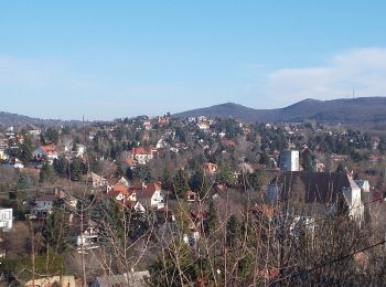
![Randonnée A pied Inconnu - Z↺ (Görgényi út, autóparkoló - Árpád-kilátó - Görgényi út, autóparkoló) - Photo](https://media.geolcdn.com/t/350/260/14c514d4-2150-4bd8-a80a-5306e175e48e.jpeg&format=jpg&maxdim=2)
![A pied A pied](https://static1.geolcdn.com/sitytour/trail-icons/100.png)
Km
A pied
![](/images/other/stat-length.png)
![](https://static1.geolcdn.com/siteimages/upload/files/1508320355ic_sort_den_pos_24dp.png)
![](https://static1.geolcdn.com/siteimages/upload/files/1508320355ic_sort_den_neg_24dp.png)
![](https://static1.geolcdn.com/siteimages/upload/files/16400158638029165_repeat_loop_refresh_sync_direction_icon.png)
![Randonnée A pied Inconnu - S↺ (Hűvösvölgy - Nagy-rét - Hűvösvölgy) - Photo](https://media.geolcdn.com/t/350/260/cb771ffa-e22a-4605-aa71-d5d0a1e8219d.jpeg&format=jpg&maxdim=2)
![A pied A pied](https://static1.geolcdn.com/sitytour/trail-icons/100.png)
Km
A pied
![](/images/other/stat-length.png)
![](https://static1.geolcdn.com/siteimages/upload/files/1508320355ic_sort_den_pos_24dp.png)
![](https://static1.geolcdn.com/siteimages/upload/files/1508320355ic_sort_den_neg_24dp.png)
![](https://static1.geolcdn.com/siteimages/upload/files/16400158638029165_repeat_loop_refresh_sync_direction_icon.png)
![Randonnée A pied Inconnu - Z↺ (Szépjuhászné, autóparkoló - Hárshegyi körút - Szépjuhászné, autóparkoló) - Photo](https://media.geolcdn.com/t/350/260/24ba891e-5228-473a-8d5c-7556b8e9b24b.jpeg&format=jpg&maxdim=2)
![A pied A pied](https://static1.geolcdn.com/sitytour/trail-icons/100.png)
Km
A pied
![](/images/other/stat-length.png)
![](https://static1.geolcdn.com/siteimages/upload/files/1508320355ic_sort_den_pos_24dp.png)
![](https://static1.geolcdn.com/siteimages/upload/files/1508320355ic_sort_den_neg_24dp.png)
![](https://static1.geolcdn.com/siteimages/upload/files/16400158638029165_repeat_loop_refresh_sync_direction_icon.png)
6 randonnées affichées sur 6
Application GPS de randonnée GRATUITE