


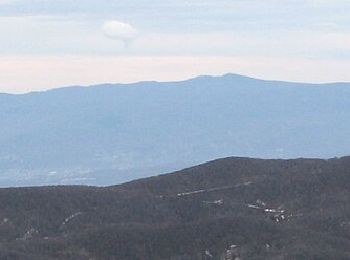
13,9 km | 18,5 km-effort
Croatie : découvrez les 444 meilleurs circuits de randonnée pédestre ou à vélo. Notre catalogue préparé à la main par nos randonneurs regorge de superbes paysages qui n'attendent qu'à être explorés. Téléchargez ces itinéraires dans SityTrail, notre application de GPS de randonnée gratuite disponible sur Android et iOS.
Marche


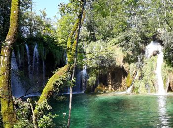
• Un tracé dans le magnifique parc national de Plitviche, une partie de celui-ci a été effectué en bateau de liaison.
A pied
• Randonnée créée par PD Plus, Klana ( http://www.pdplis.hr/ ).
A pied
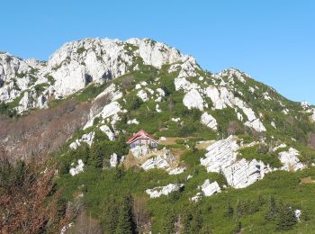
• Randonnée créée par HPD HP and HT Učka, Rijeka.
A pied
• Randonnée créée par HPD HP i HT Učka, Rijeka.
A pied
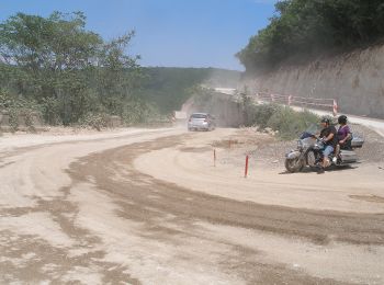
• Randonnée créée par PD Paklenica, Zadar (http://www.pdpaklenica.hr).
A pied
• Randonnée créée par PD Paklenica, Zadar (http://www.pdpaklenica.hr).
A pied
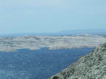
• Randonnée créée par PD Kamenjak, Rab (http://www.pd-kamenjak-rab.com/).
A pied
• Randonnée créée par NP Krka.
A pied
• Randonnée créée par PD Opatija, Opatija.
A pied
• Randonnée créée par PD Duga, Rijeka.
A pied
• Randonnée créée par PD Duga, Rijeka. Ravno podolje (x) s PP Lepenice za Risnjak - šumskom cestom i putovima kroz Mrz...
A pied
• Randonnée créée par HPD Zagreb-Matica, Zagreb.
A pied
• Randonnée créée par Istra Trails. Symbole: green bar on yellow ground Site web: http://www.istria-trails.com/hr/st...
A pied
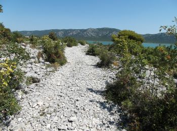
• Park prirode Vransko jezero predstavlja mjesto neposrednog susreta s prirodom i pruža jedinstvenu priliku da prirodom...
A pied
• Randonnée créée par PD Belveder Biograd na Moru.
A pied
• Randonnée créée par Via Dinarica.

A pied
• Randonnée créée par Via Dinarica.
A pied
• Randonnée créée par PD Strilež, Crikvenica.
A pied
• Randonnée créée par HPD Zagreb-Matica, Zagreb.
A pied
• Randonnée créée par PD Industrogradnja, Zagreb.
20 randonnées affichées sur 444
Application GPS de randonnée GRATUITE
 SityTrail
IGN / Instituts géographiques
SityTrail World
Le monde est à vous