


4 km | 5,9 km-effort
Attique : découvrez les meilleures randonnées : 12 a pied, 12 marche, 2 marche nordique et 1 course à pied. Tous ces circuits, parcours, itinéraires et activités en plein air sont disponibles dans nos applications SityTrail pour smartphones et tablettes.
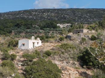
A pied


• Randonnée créée par Kythera Hiking. Symbole: blue-white bars
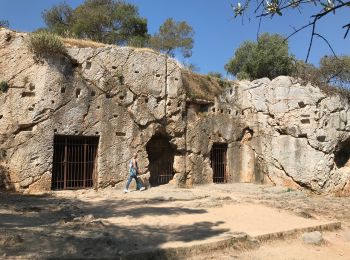
Marche
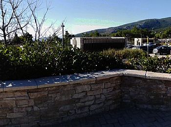
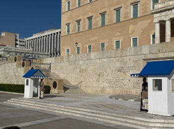
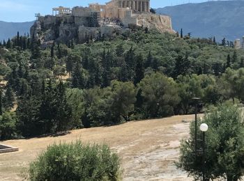
• Accès à Faliro par le tramway
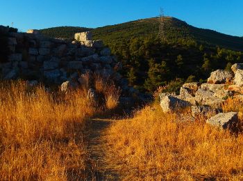
A pied
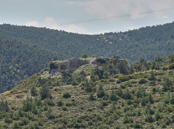
A pied
A pied

A pied
A pied
A pied
Marche
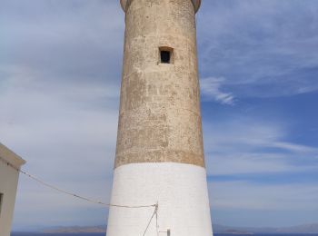
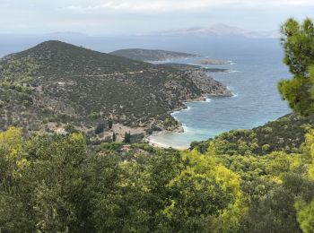
• Un aller-retour de Kryoneri vers le phare de Moudari au nord de Cythère. Il existe de vrais chemins de randonnées que...

Marche nordique
•
Marche
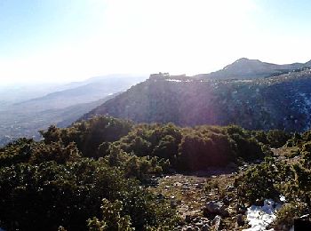
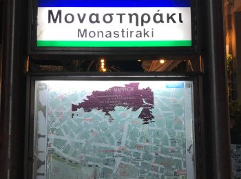
• Avec passage par le musée de la guerre
Marche
A pied
A pied
A pied
Marche

Marche nordique
•

Marche
Marche

A pied
20 randonnées affichées sur 27
Application GPS de randonnée GRATUITE
 SityTrail
IGN / Instituts géographiques
SityTrail World
Le monde est à vous