


8,2 km | 8,9 km-effort
Woking : découvrez les meilleures randonnées : 1 a pied, 5 marche et 1 course à pied. Tous ces circuits, parcours, itinéraires et activités en plein air sont disponibles dans nos applications SityTrail pour smartphones et tablettes.
A pied


• Canons and Cornmills Walk from http://www.surreycc.gov.uk
Marche
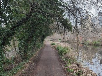
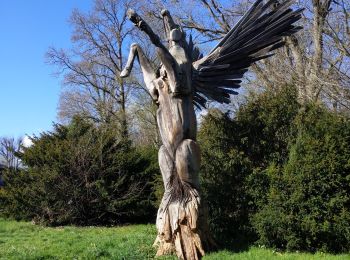
• Jolie balade. Un peu de monde entre vélo et piétons.
Marche
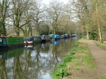
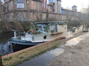
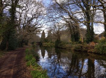
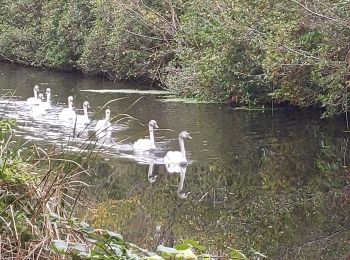
• Promenade agréable le long du canal. belles propriétés , sentier pédestre/ cyclable
Marche
Marche
Marche

Course à pied
7 randonnées affichées sur 7
Application GPS de randonnée GRATUITE
 SityTrail
IGN / Instituts géographiques
SityTrail World
Le monde est à vous