


6,6 km | 7,3 km-effort
Angleterre : découvrez les meilleures randonnées : 423 a pied, 114 marche, 1 marche nordique, 4 course à pied et 1 trail. Tous ces circuits, parcours, itinéraires et activités en plein air sont disponibles dans nos applications SityTrail pour smartphones et tablettes.

A pied


• Randonnée créée par West Rainton Green Group. Not clear whether route is extant (no current information) - some sect...
A pied
• Randonnée créée par West Rainton Green Group. Symbole: Yellow clover leaf on green round
A pied
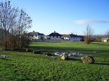
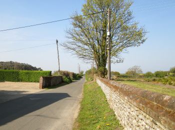
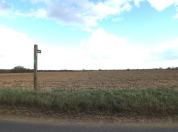
• This circular walk offers a rich and varied past for the heritage explorer to delve into Site web: https://www.norfo...
A pied
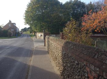
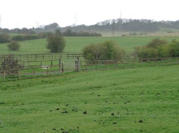
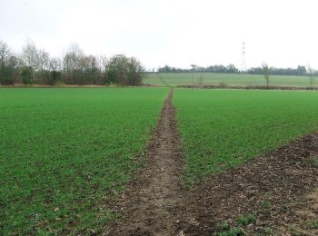
• The Brancaster Staithe walk is a contrast of saltmarsh and sailing regattas, wind and woodland Site web: https://ww...
A pied
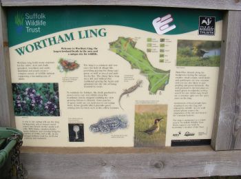
• Randonnée créée par Woodland Trust. Symbole: Arrow pointer with three fish
A pied
• Site web: https://www.nationaltrail.co.uk/en_GB/short-routes/sheringham-circular-walk-6-2/
A pied
• Symbole: red kite on white background
A pied
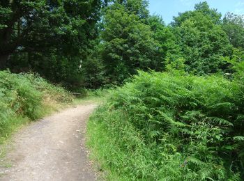
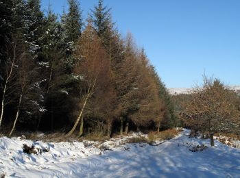
• Randonnée créée par Forestry England.
A pied
• Symbole: Black arrow on yellow background
A pied
• Randonnée créée par Forestry England. Symbole: White arrow on orange background
A pied
• Randonnée créée par West Rainton Green Group. Symbole: Red clover leaf on green round
A pied
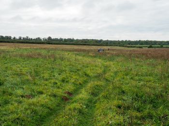
• Randonnée créée par Norfolk Trails.
A pied
• Symbole: Green Arrow on White Round Background
A pied
• Symbole: Yellow Arrow on a Dark Blue Background
A pied
• Symbole: Purple arrow on white background
A pied
• Symbole: pair of pistols
A pied
• Symbole: pair of pistols
A pied
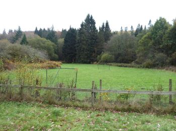
• Randonnée créée par North Pennines AONB Partnership.
A pied
• Randonnée créée par North Pennines AONB Partnership.
A pied
• Randonnée créée par North Pennines AONB.
20 randonnées affichées sur 542
Application GPS de randonnée GRATUITE
 SityTrail
IGN / Instituts géographiques
SityTrail World
Le monde est à vous