


10,2 km | 15,2 km-effort
Powys : découvrez les meilleures randonnées : 3 a pied et 7 marche. Tous ces circuits, parcours, itinéraires et activités en plein air sont disponibles dans nos applications SityTrail pour smartphones et tablettes.
A pied


A pied
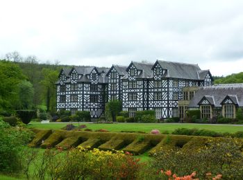
• Randonnée créée par University of Wales, Gregynog. Symbole: Red Arrows
A pied
• Randonnée créée par University of Wales, Gregynog. Symbole: Blue Arrows
Marche
• Que du hors piste !!!
Marche
• LOST IN WALES, j'ai tourné en rond !!! HS !
Marche
• J'ai traversé une rivière et j'ai pris un bain !!!

Marche
• Que du hors piste !!!

Marche
• J'ai traversé une rivière et j'ai pris un bain !!!
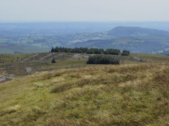
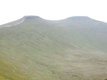
Marche
• Belle montagne descente un peu longue

Marche
• Belle montagne descente un peu longue
10 randonnées affichées sur 10
Application GPS de randonnée GRATUITE
 SityTrail
IGN / Instituts géographiques
SityTrail World
Le monde est à vous