


15 km | 25 km-effort
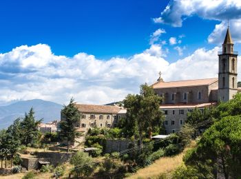
Piana : découvrez les meilleures randonnées : 2 a pied, 86 marche et 1 course à pied. Tous ces circuits, parcours, itinéraires et activités en plein air sont disponibles dans nos applications SityTrail pour smartphones et tablettes.
Marche


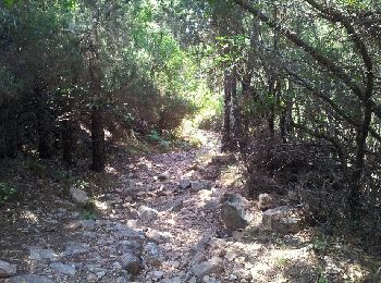
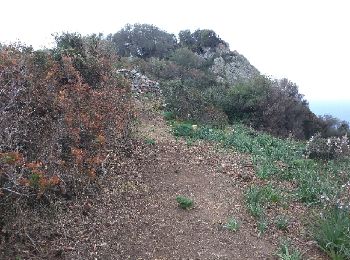
• Chemin très agréable sous couvert de châtaigniers et de pin à près de 75 % du parcourt, sauf pour les 2 derniers kilo...
Marche
•

Marche
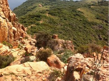
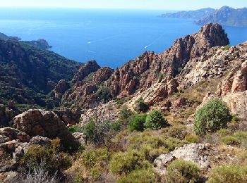
• Corse . Superbe ballade dans le golfe de Porto, mérite 5 étoiles
Marche
•
Marche
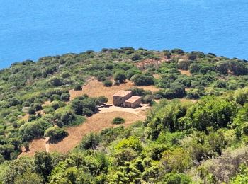
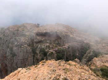
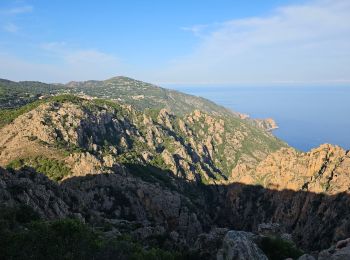
• magnifique rando à faire très tôt le matin. panorama superbe !
Marche
• superbe randonné assez ombragee.
A pied
Marche
Marche
• Que de beautés pour ce début de randonnée en Corse
Marche
• Par l'itinéraire jaune
Marche
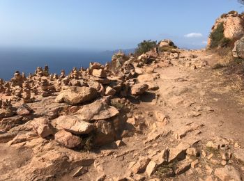
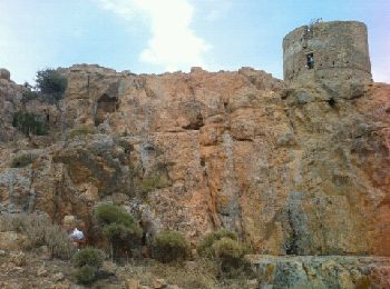
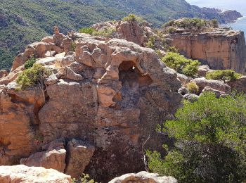
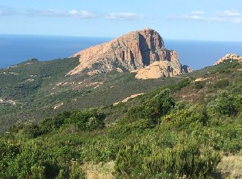
• Capo Rosso
Marche
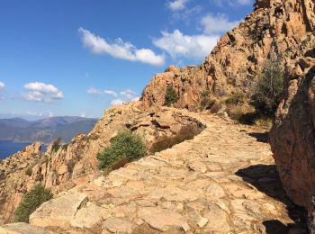
• Rando sympa qui offre de super points de vue sur les calanques de Piana. Magnifique sur l'arrivée...

Marche
•
Marche
•
Marche
Marche
• Cappu Rossu par le sentier littoral
Marche
Marche
• 4tghhhh
Marche
• aller retour sur ce merveilleux sentier ombragé
Marche
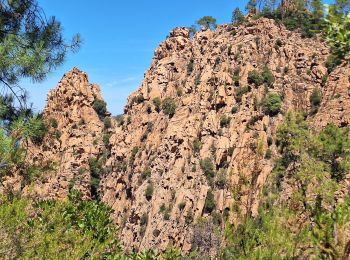
• Belle randonnée sur un sentier bien tracé. Vues magnifiques sur le golfe de Porto et la réserve de Scandola.
20 randonnées affichées sur 89
Application GPS de randonnée GRATUITE
 SityTrail
IGN / Instituts géographiques
SityTrail World
Le monde est à vous