


17,3 km | 30 km-effort
Cozzano : découvrez les meilleures randonnées : 27 marche et 1 trail. Tous ces circuits, parcours, itinéraires et activités en plein air sont disponibles dans nos applications SityTrail pour smartphones et tablettes.
Marche


Marche
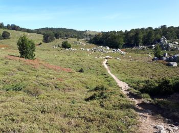
• Usciolu - i croci
Marche
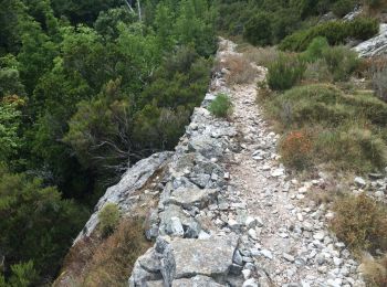
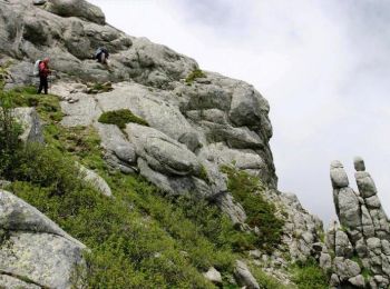
• Catastaghju est rattachée à San Gavino di Fiumorbo. Etape difficile, surtout dans les descentes. Sur le col de Bocca ...

Marche
Marche
Marche
Marche
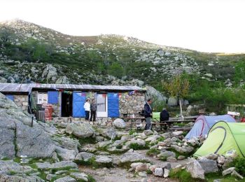
• GR 20® du refuge d'Usciolu au refuge d'Asinau - Etape 13 Il est recommandé de partir très tôt car l’étape est longue ...
Marche
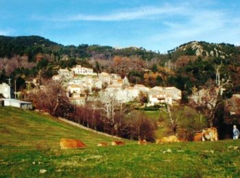
• GR 20® Liaison du refuge d'Usciolu à Cozzano - Liaison 10 Fort de ses 319 habitants, Cozzano occupe un emplacement pr...
Marche
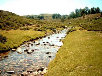
• Mare a Mare Centre – de Cozzano à Guitera les Bains par Zicavo L’itinéraire de cette traversée permet la découverte d...
Marche
• Mare a Mare Centre – de Cozzano à Guitera les Bains par Sampolo et Tasso L’itinéraire de cette traversée permet la dé...
Marche
Marche
• plus longue qu'indiquée à cause .nombreux passages rocheux
Marche
• Cozzano à Guiltera les Bains
Marche
• Cozzano à Guitera les Bains
Marche
• 17/06/2009
Marche
• 10.7 km, +752, - 681, 4h08
Marche
• Du Refuge d'Usciolu au Refuge d'Asinao

Trail
Marche
Marche
20 randonnées affichées sur 28
Application GPS de randonnée GRATUITE
 SityTrail
IGN / Instituts géographiques
SityTrail World
Le monde est à vous