


14,1 km | 27 km-effort
Bocognano : découvrez les meilleures randonnées : 2 a pied, 14 marche et 1 course à pied. Tous ces circuits, parcours, itinéraires et activités en plein air sont disponibles dans nos applications SityTrail pour smartphones et tablettes.
Marche


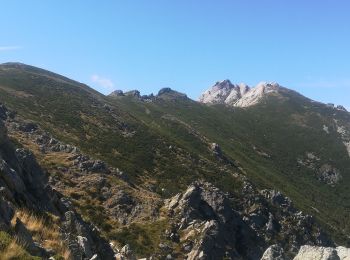
• Très jolie boucle, assez accessible entre 3 sommets principaux de l'île.
Marche
Marche
• sympa

Course à pied

Marche
• Randonnée au fort dénivelé: Ca monte ça monte..... Vue magnifique du sommet. Passage d'escalade pour arriver à la cro...
Marche
• Marche moyenne, beaux paysages, beaucoup de cochons... A faire!
Marche

A pied
Marche
Marche
A pied
Marche
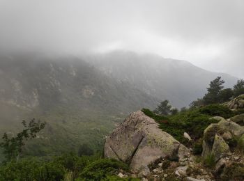
• abandon
Marche
Marche
Marche
Marche
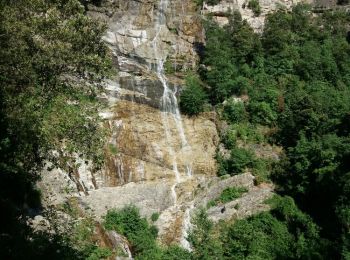
• GORGES DE LA RICHIUSA
Marche
17 randonnées affichées sur 17
Application GPS de randonnée GRATUITE
 SityTrail
IGN / Instituts géographiques
SityTrail World
Le monde est à vous