


7 km | 19,4 km-effort
Îles Sous-le-Vent : découvrez les meilleures randonnées : 12 marche, 1 course à pied et 1 a pied. Tous ces circuits, parcours, itinéraires et activités en plein air sont disponibles dans nos applications SityTrail pour smartphones et tablettes.
Marche


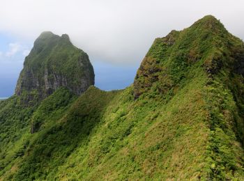
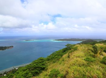
• La montagne de Bora Bora a deux sommets. Le plus haut, Otemanu, culmine à 727m, le second 661m est le Mont Pahia. Le ...
A pied
Marche
Marche
Marche

Course à pied
• Direction la stelle
Marche
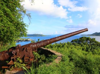
• 2 canons US

Marche
Marche
• Lignes de crêtes
Marche
Marche
Marche
Marche
Marche
14 randonnées affichées sur 14
 SityTrail