


6,7 km | 7,5 km-effort
Guadeloupe : découvrez les meilleures randonnées : 19 a pied, 670 marche, 102 marche nordique, 46 course à pied et 233 trail. Tous ces circuits, parcours, itinéraires et activités en plein air sont disponibles dans nos applications SityTrail pour smartphones et tablettes.
Marche


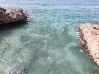
• Plage des Salines
Marche
• Rando facile au départ de Sofaïa depuis la ville de Ste Rose. Attention terrain glissant par temps humide. Traversée ...
Marche nordique
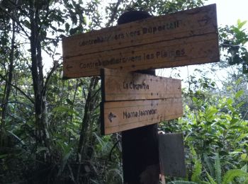
• Sous bois route de liard saint Robert
Marche
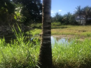
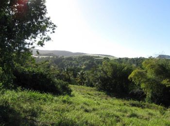
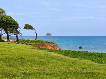
• Petite balade dans les champs de canne à sucre, sur les hauteurs de Sainte-Rose, avec une vue superbe sur le Grand Cu...
Marche
Marche
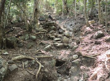
• Ce circuit est facile en terme de balisage par contre les 6 premiers km ne sont que de la montée.... avec pas mal d'h...
Marche
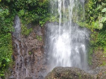
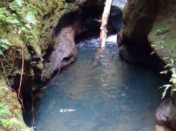
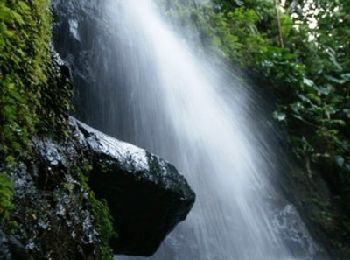
• Départ depuis les Bains jaunes Piste bien tracée jusqu'à la chute du Gallion. Pour accéder au pied de la chute, trave...
Marche
• Départ depuis le parking de la chapelle de la Baie Olive (St François) Quelques passages en s'aidant de cordes instal...
Marche
• Départ du parking d' Anse Laborde Trou Man Louis Anse Castalia Pointe Montagnier Pointe Petite Tortue
Marche
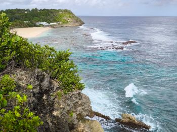
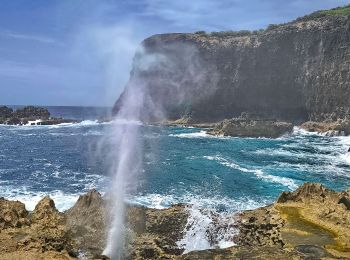
• Trou Madame Coco Pointe Percée Pointe à Desbonnes Pointe à Tortue Le Souffleur
Marche
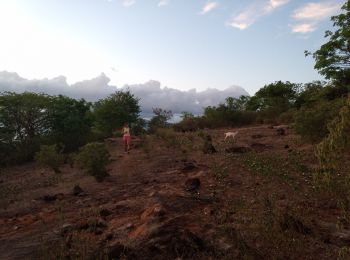
• Départ à gauche du cimetière. Montée abrupte jusqu'au Gros Morne (206m) avant la descente jusqu'à Gande Anse.
Marche
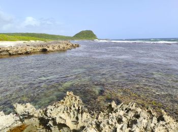
• Départ du parking point de vue Falaise. Rando en boucle. Passage à Anse à Sable, Pointe Machette, Pointe à Lézard.
Marche
• Plage des Amandiers à la Pointe Nogent
Marche
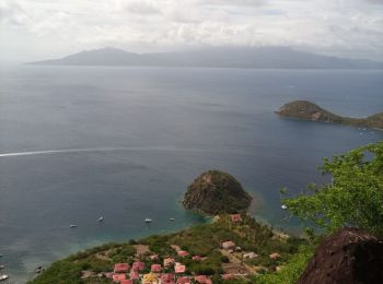
• Anse Marigot - Fort Napoléon - Anse Figuier - Pain de Sucre - Anse Crawen - Chameau
Marche
• Baie de Pompierre - Morne Morel
Marche
• En remontant et avec moins d'eau : sportif mais ça passe pour Taïga !
Marche
• Boue +++
Marche
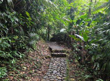
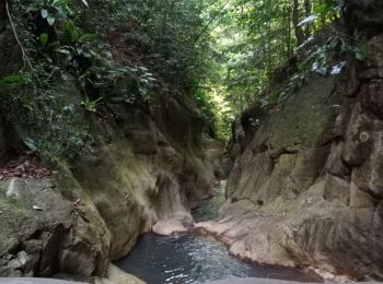
• top rando !! jungle 😍😍❤️ 5€15 l'entrée par contre. mais les cascades valent le coup ! la rando aussi. sur les pen...
A pied
• Randonnée créée par Parc National de la Guadeloupe. Site web: http://www.randoguadeloupe.gp/pedestre/sentier-de-la...
A pied
• Randonnée créée par Parc national de la Guadeloupe. Site web: http://www.randoguadeloupe.gp/pedestre/trace-des-rui...
20 randonnées affichées sur 1067
Application GPS de randonnée GRATUITE
 SityTrail
IGN / Instituts géographiques
SityTrail World
Le monde est à vous