


7,7 km | 10,1 km-effort
Saint-Jean-Ligoure : découvrez les meilleures randonnées : 4 marche et 1 marche nordique. Tous ces circuits, parcours, itinéraires et activités en plein air sont disponibles dans nos applications SityTrail pour smartphones et tablettes.
Marche


• st Jean ligoure

Marche
• avec le club

Marche
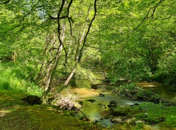
• Randonnée Bas du Château de Chalucet et de ses environs.
Marche
• Randonnée Bas du Château de Chalucet et de ses environs.
Marche
5 randonnées affichées sur 4
Application GPS de randonnée GRATUITE
 SityTrail
IGN / Instituts géographiques
SityTrail World
Le monde est à vous