


16,5 km | 22 km-effort
Eymoutiers : découvrez les meilleures randonnées : 1 a pied, 9 marche et 1 marche nordique. Tous ces circuits, parcours, itinéraires et activités en plein air sont disponibles dans nos applications SityTrail pour smartphones et tablettes.
Marche


• Super départ montée difficile et longue mais superbe chemin Sur la fin moins sympa beaucoup de route
Marche
• Charmante bourgade
Marche
• Saint Jacques
Marche
Marche
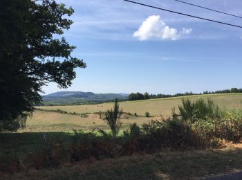
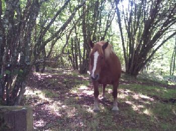
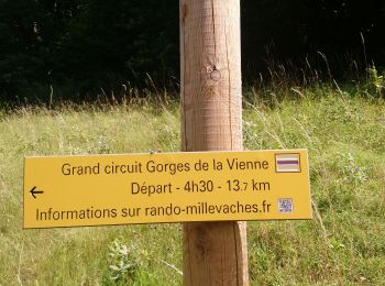
• Grande balade dans une ambiance de forêt 🐿 naturelle peuplée de très vieux arbres. Vous longerez pendant quelques km...
Marche
• Grande balade dans une ambiance de forêt 🐿 naturelle peuplée de très vieux arbres. Vous longerez pendant quelques km...

Marche
• bien

A pied
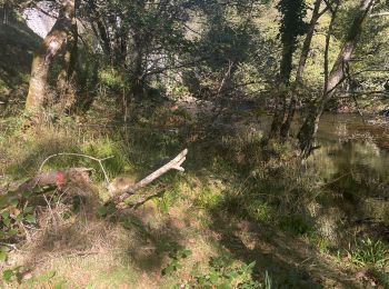
• Ce site protégé, tantôt encaissé, tantôt ouvert sur un large panorama, présente un grand intérêt botanique. Les ouvra...
Marche
• La voie de Rocamadour
Marche
Marche
11 randonnées affichées sur 10
Application GPS de randonnée GRATUITE
 SityTrail
IGN / Instituts géographiques
SityTrail World
Le monde est à vous