


12,7 km | 14,6 km-effort
Le Mas-d'Agenais : découvrez les meilleures randonnées : 3 a pied et 6 marche. Tous ces circuits, parcours, itinéraires et activités en plein air sont disponibles dans nos applications SityTrail pour smartphones et tablettes.
A pied


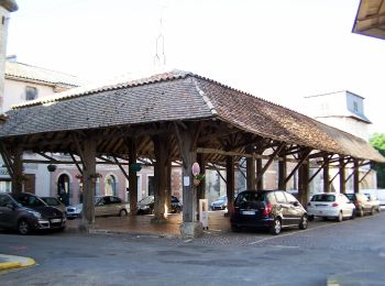
• Randonnée créée par CDT47.

A pied
• Randonnée créée par CDT47.
A pied
• Randonnée créée par CDT47.
Marche
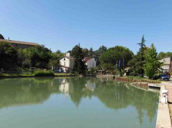
• Le Mas d’Agenais / Canal de Garonne Cté Com. Val de Garonne. Cette randonnée au relief très peu prononcé, fait la lia...
Marche
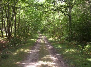
• Le Mas d’Agenais / la Forêt Cté de Communes Val de Garonne. Une association locale, pour mettre en valeur sa forêt, p...
Marche

Marche
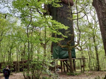
• LE MAS D'AGENAIS Départ depuis le parking situé sur la D6 à l'entrée de la forêt en direction de Casteljaloux (à DUPR...
Marche
Marche
9 randonnées affichées sur 9
Application GPS de randonnée GRATUITE
 SityTrail
IGN / Instituts géographiques
SityTrail World
Le monde est à vous