


13,8 km | 16,8 km-effort
Charleval : découvrez les meilleures randonnées : 3 a pied et 33 marche. Tous ces circuits, parcours, itinéraires et activités en plein air sont disponibles dans nos applications SityTrail pour smartphones et tablettes.
Marche


• Boucle A-R au départ du Cimetière
A pied
Marche
• Boucle
Marche
• Boucle A-R au départ du cimetière de Charleval
Marche
• Boucle A-R au départ du cimetière de Charleval
Marche
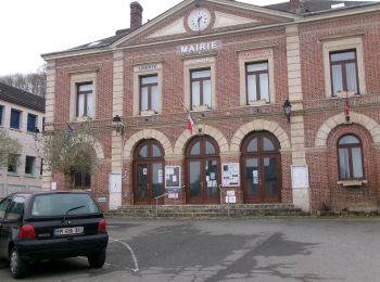
• Boucle A-R au départ de la Mairie
Marche
• Boucle A-R au départ du cimetière

Marche
• Départ du parking de Charleval sur la droite un peu après le passage sous le pont. Puis aller jusqu'à l'église et tou...
Marche
• Partir De la Mairie de Charleval à la Mairie de Lyons la Forêt
Marche

A pied
• Départ cimetière de Charleval
Marche
• Confinement lyons
Marche
• Boucle A-R au départ du Cimetière de Charleval
Marche
Marche
• Boucle au départ du parking du cimetière de Charleval
Marche
• Forêt de Lyons
Marche
• Boucle A-R au départ du cimetière de Charleval
Marche
• Boucle A-R au départ du Cimetière de Charleval
Marche
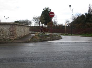
• Départ au rond point D1-D149 "Le pont de l'Andelle". Prendre le GR de pays qui monte, route de Gournets. AG allées de...
Marche
• Départ au rond point D1-D149 "Le pont de l'Andelle". Prendre le GR de pays qui monte, route de Gournets. AG allées de...
20 randonnées affichées sur 36
Application GPS de randonnée GRATUITE
 SityTrail
IGN / Instituts géographiques
SityTrail World
Le monde est à vous