


6,2 km | 8 km-effort
Saint-Léger-sous-Beuvray : découvrez les meilleures randonnées : 2 a pied et 21 marche. Tous ces circuits, parcours, itinéraires et activités en plein air sont disponibles dans nos applications SityTrail pour smartphones et tablettes.
Marche


•
A pied
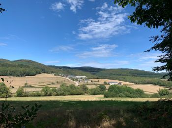
• Pays : Autunois-Morvan De SAINT PRIX à SAINT PRIX

Marche
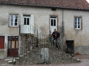
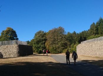
• Ces bâtisses étaient une étape et probablement un péage sur le chemin des foires qui se tenaient au sommet du Beuvray
Marche
• 2e envoi (28 nov), svg
Marche
• 2e envoi (28 nov)

A pied
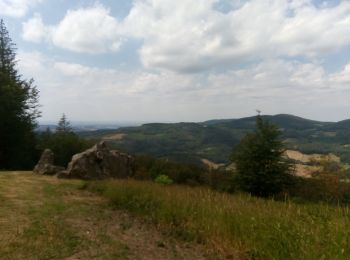
• Pays : Autunois-Morvan De SAINT LEGER SOUS BEU à SAINT LEGER SOUS BEU
Marche
Marche
Marche
Marche
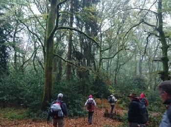
• sentier et hors sentier
Marche
• Départ : place du village Prendre la route à gauche en passant devant l’église, au stop prendre à gauche et tourner ...
Marche
Marche
• Ces bâtisses étaient une étape et probablement un péage sur le chemin des foires qui se tenaient au sommet du Beuvray
Marche
Marche
Marche
Marche
Marche
Marche
Marche
20 randonnées affichées sur 23
Application GPS de randonnée GRATUITE
 SityTrail
IGN / Instituts géographiques
SityTrail World
Le monde est à vous