


6,2 km | 9,3 km-effort
La Rosière : découvrez les meilleures randonnées : 15 marche. Tous ces circuits, parcours, itinéraires et activités en plein air sont disponibles dans nos applications SityTrail pour smartphones et tablettes.

Marche


Marche

Marche
• Super rando dans les genêts. Absolument magnifique

Marche
Marche
• Depuis la Rosière, partez à la découverte du patrimoine : croix, calvaires, fontaines et anciennes fermes des Vosges ...
Marche
• randonnée de 20 km 600 m de dénivelé. très agréable
Marche
• Ferme des Alsaciens
Marche
• ligne de partage des eaux 1
Marche
Marche
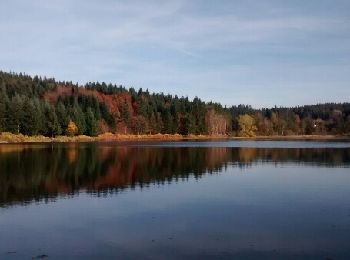
• le roseria
Marche
Marche
Marche
Marche
Marche
15 randonnées affichées sur 15
Application GPS de randonnée GRATUITE
 SityTrail
IGN / Instituts géographiques
SityTrail World
Le monde est à vous