


9,7 km | 10,7 km-effort
Saint-Nazaire : découvrez les meilleures randonnées : 1 a pied, 38 marche, 2 course à pied et 1 trail. Tous ces circuits, parcours, itinéraires et activités en plein air sont disponibles dans nos applications SityTrail pour smartphones et tablettes.
Marche


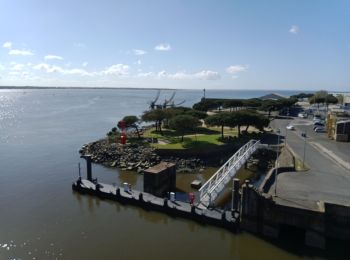
• zone portuaire
Marche
• Tour de l’étang facile, dommage qu’une partie du parcours soit près de la route.

Marche
•
Marche
•
Trail
Marche
Marche
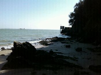
• Entre chemin côtier et sentiers, découvrez ce quartier de St-Nazaire. Arrêtez vous sur la plage de M. Hulot, chère à ...

Marche
• GR 34
Marche
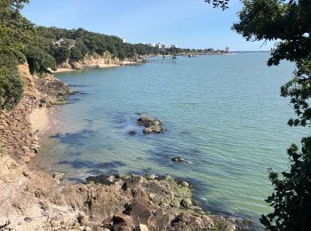
• sentier cotier
Marche
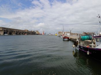
• les quais

A pied
• Un petit tour sur les arrières de St-Marc sur Mer.
Marche
• L'Immaculée vers les 4 vents
Marche
• rando Immaculée
Marche
• départ parking bmx tunnel guindreff tour du bois joalland
Marche
• Du parking du gymnase Carpentier à Saint-Marc par les terres et le "camp de la Torpille" puis retour par le sentier c...
Marche
• promenade facile autour des quatre vents et dissignac.
Marche
• promenade facile autour des quatre vents et dissignac.
Marche
• Promenade facile autour de l'étang du Bois Joalland
Marche

Course à pied
20 randonnées affichées sur 42
Application GPS de randonnée GRATUITE
 SityTrail
IGN / Instituts géographiques
SityTrail World
Le monde est à vous