


14,8 km | 17,8 km-effort
Pays de la Loire : découvrez les meilleures randonnées : 447 a pied, 5656 marche, 515 marche nordique, 223 course à pied et 26 trail. Tous ces circuits, parcours, itinéraires et activités en plein air sont disponibles dans nos applications SityTrail pour smartphones et tablettes.
Marche


Marche
• parcours le long des ardoisieres.
Marche
• Vue sur le château, randonnée le long de l'Hyrome.
Marche
• Départ de la Haie Traversaine,prendre la route d'Ambrières Les Vallées et après avoir traverser La Colmont tourne...
Marche
• Compostelle : rallier Saint Jean d'Angely depuis la Roche sur Yon pour retrouver le chemin de tours.. 2ème étape : d...
Marche
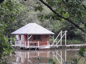
• Départ de la place Albert Cheux. Les prairies inondables de la Baumette ponctuées de peupleraies sont un endroit natu...
Marche
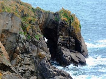
• tour de la pointe
Marche
• facile
Marche
• Circuit proposé par la Communauté de Communes Loire & Sillon. Départ du parking de la mairie de Bouée. Amoureux des v...
Marche
• Circuit proposé par l'Office de Tourisme Région de Chemillé en Anjou. Aux confins du Layon et des Mauges, ce village ...
Marche
• Circuit proposé par la communauté de communes d'Erdre et Gesvres. Départ du parking des Étangs, route d'Héric, à Fay ...
Marche
• Circuit proposé par la communauté de communes d'Erdre et Gesvres. Départ du Complexe sportif de Casson. Casson à une ...
Marche
• La Mairie et l'Office de Tourisme de l'île d'Yeu vous proposent plusieurs circuits dont le sentier du Levant. Départ ...
Marche
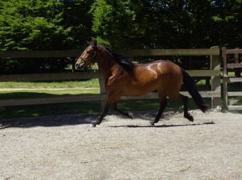
• Parcours découvert lors d'une présentation models et allures le dimanche 31 mai. Superbe parcours au milieu du Haras ...
Marche

A pied
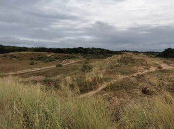
• Randonnée pouvant se faire a pied ou en VTC ou VTT. Un passage délicat vers la plage en cas de vélos. Randonnée a tra...
Marche
Marche
Marche
Marche
20 randonnées affichées sur 6823
Application GPS de randonnée GRATUITE
 SityTrail
IGN / Instituts géographiques
SityTrail World
Le monde est à vous