


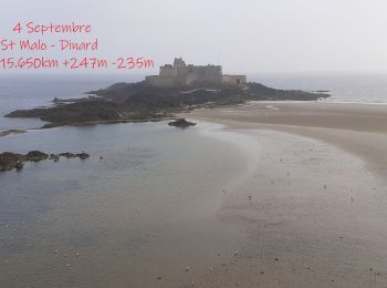
15,6 km | 18,9 km-effort
Saint-Malo : découvrez les meilleures randonnées : 3 a pied, 156 marche, 2 marche nordique et 2 course à pied. Tous ces circuits, parcours, itinéraires et activités en plein air sont disponibles dans nos applications SityTrail pour smartphones et tablettes.
Marche


• 04.09.2021 Hôtel Altaïr Tour des remparts le 05 Septembre journée à Dinan
Marche
• Saint-Malo - 7.7km 90m 3h00 - 2017 06 18
Marche
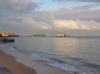
• Saint-Malo - Rothéneuf - 8.3km 110m 2h50 - 2017 06 24
Marche
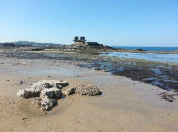
• Saint-Malo - Gîte Le Val Riant (GRP et PR) - 10km 130m 3h15 - 2017 06 28
Marche
• circuit accessible

Marche
• Randonnée Marche de 14,9 km à découvrir à Bretagne, Ille-et-Vilaine, Saint-Malo. Cette randonnée est proposée par pat...
Marche
• petite marché le long de la Rance
Marche
• Tro Breizh Paimpol_Dol-de-Bretagne
Marche
• Tro Breizh Paimpol_Dol-de-Bretagne
Marche

Marche
•
Marche
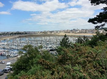
• Saint-Malo - Saint-Servan-sur-Mer - 2.5km 45m 0h50 - 2017 06 24
Marche
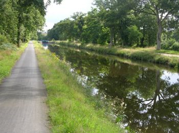
• La Voie Verte Saint-Malo/Arzal (via Rennes et Redon), aussi nommé V2 est un itinéraire d'intérêt national. Elle perme...
Marche
• Bientôt sur le jardindelolo.fr le récit de mon périple sur le GR 34, étape par étape avec commentaires et photos.
Marche
Marche
Marche
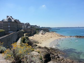
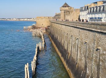
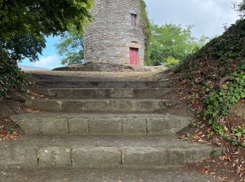
• Les remparts
Marche

Marche
•

Marche
20 randonnées affichées sur 163
Application GPS de randonnée GRATUITE
 SityTrail
IGN / Instituts géographiques
SityTrail World
Le monde est à vous