


8,1 km | 8,9 km-effort
Clohars-Carnoët : découvrez les meilleures randonnées : 7 a pied, 110 marche, 4 marche nordique et 1 course à pied. Tous ces circuits, parcours, itinéraires et activités en plein air sont disponibles dans nos applications SityTrail pour smartphones et tablettes.

Marche


• Le 29 avril 2024

Marche

Marche

Marche
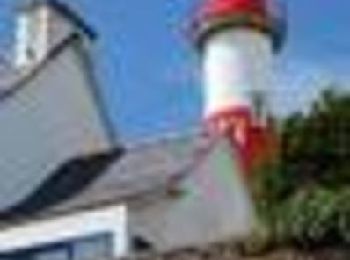
• Doëlan

Marche
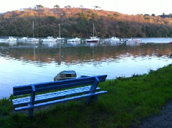
• Boucle du Pont Saint Maurice au sentier des peintres sur la commune du Pouldu, passage vers Guidel avec la navette ma...

Marche
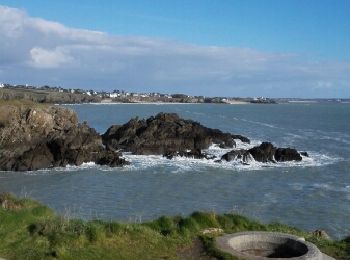
• GR34

Marche
Marche
• Dernier jour du Périple. Départ 8 h00 du mat pour rejoindre Quimperlé train de 13h00
Marche
• Départ du camping du kérou et boucle sur le 34 Attention dans la partie terre, de nombreux passages en propriété priv...

Marche
• Ballade le long de l'anse de Doëlan où se trouve le port et le long de la côte avec retour par les terres jusqu'à la...

Marche
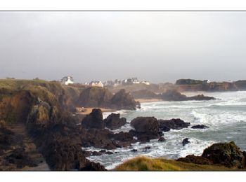
• Randonnée en aller-retour sur le GR 34 entre la rive droite de Doëlan et la ria de Merrien.

Marche
• Randonnée en aller et retour sur le GR34 entre les ports de Doëlan (commune de Clohars-Carnoët) et Merrien (commune d...

Marche
• 1ère boucle au Pouldu 2nde La Laïta et retour par Guidel plage (attention aux horaires du bac)

Marche
Marche

Marche
Marche
• simple balisage bleu et jaune n2. attention certains passages privés sont interdits
Marche
• Parking : Le Kérou au Pouldu commune de Clohars Carnoêt. Ce parking ce trouve juste au dessus de la plage du Kérou. P...
Marche
• Ce circuit est balisé en bleu, cependant on vient d'ajouter des panonceaux de changement de direction jaune, de plus ...
Marche
• marche
20 randonnées affichées sur 118
Application GPS de randonnée GRATUITE
 SityTrail
IGN / Instituts géographiques
SityTrail World
Le monde est à vous