


18,8 km | 27 km-effort
Curvalle : découvrez les meilleures randonnées : 1 a pied et 13 marche. Tous ces circuits, parcours, itinéraires et activités en plein air sont disponibles dans nos applications SityTrail pour smartphones et tablettes.
Marche


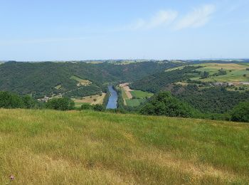
• D'une distance de 19 kilomètres d'un niveau difficile, ce parcours gambade entre versants et dômes battus par les ven...
Marche
Marche

Marche
• Sentiers de vignes et vergers: rando Tarn
Marche
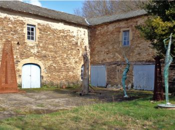
• Sentiers de vignes et vergers: rando Tarn et aller retour à Balaguier sur Rance
Marche
• Sentiers de vignes et vergers: rando Tarn et aller retour à Balaguier sur Rance
Marche
• Castanhals longue; vallées et collines
Marche
• Castanhals courte; collines et vallée

A pied
Marche
Marche
Marche
Marche
Marche
14 randonnées affichées sur 14
Application GPS de randonnée GRATUITE
 SityTrail
IGN / Instituts géographiques
SityTrail World
Le monde est à vous