


4,6 km | 5,3 km-effort
Montauban : découvrez les meilleures randonnées : 9 marche, 1 marche nordique et 6 course à pied. Tous ces circuits, parcours, itinéraires et activités en plein air sont disponibles dans nos applications SityTrail pour smartphones et tablettes.
Marche


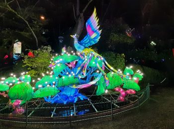
• fête des lanpions

Marche nordique

Marche
• Jolie rando entre forets, cultures, vergers, résidences, par moment, il y a de belles vues sur la plaine, beaucoup de...
Marche
• avec 5 enfants
Marche
Marche

Course à pied
Course à pied
Course à pied
Course à pied
Course à pied
Course à pied
Marche
Marche
Marche
•
Marche
16 randonnées affichées sur 16
Application GPS de randonnée GRATUITE
 SityTrail
IGN / Instituts géographiques
SityTrail World
Le monde est à vous