


18,6 km | 24 km-effort
Fontans : découvrez les meilleures randonnées : 1 a pied et 12 marche. Tous ces circuits, parcours, itinéraires et activités en plein air sont disponibles dans nos applications SityTrail pour smartphones et tablettes.
Marche


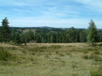
• Globalement montante (240m de dénivelée) cette étape du Chemin de Compostelle n'a pas été fatigante en raison du faib...
Marche
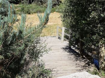
• belle petite randonnée au départ de L'ESTIVAL pour découvrir le Baou de l'Estival. Beau passage le long de la Truyère.
Marche
• grp_trc:

Marche
• Balade avec dénivelé
Marche
• petite balade / route et chemin.
Marche
• Départ du camping Le Galier, pour rejoindre le GR65 jusqu'aux ESTREES puis retour en boucle en suivant la Truyère et ...
Marche
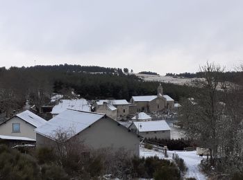
• estrets
Marche
Marche

A pied
Marche
Marche
Marche
13 randonnées affichées sur 13
Application GPS de randonnée GRATUITE
 SityTrail
IGN / Instituts géographiques
SityTrail World
Le monde est à vous