


7,2 km | 9,5 km-effort
Mas-d'Orcières : découvrez les meilleures randonnées : 1 a pied, 36 marche et 1 trail. Tous ces circuits, parcours, itinéraires et activités en plein air sont disponibles dans nos applications SityTrail pour smartphones et tablettes.
Marche


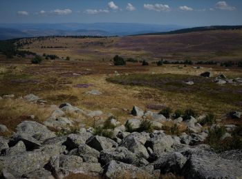
• Une agréable promenade en boucle, sans aucune difficulté, autour des monts Lozère. Le lieu est très fréquenté mais il...

Marche
• Cette randonnée a été faite avec un guide expérimenté. Si vous suivez la trace enregistrée il est possible de la fair...
Marche
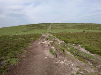
• Du parking des chômeurs jusqu’au sommet (1699m), retour par le col(G7): agréable parcours.
Marche
• D'après le circuit 26082020 de Amourette que je remercie. Belle petite rando, facile, agréable même par temps couvert.
Marche

Marche
• splendide
Marche
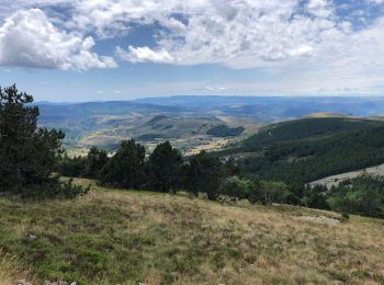
• Superbe balade au mont Finiels, attention à la météo très vite changeante.
Marche
Marche
• Depart col de Finiels
Marche
• depart Col de Finiels
Marche
• Station du Mont Lozère>>>>>Pont de Montvert
Marche
Marche
• les sommets du mont Lozere
Marche
Marche
• Etape du Col des Finiels au Pont de Montvert Itinéraire très beau sur un parcours varié.
Marche
• Mont Lozère - Pont-de-Montvert : Avec cette étape nous quittons d'alleurs le pays du Mont Lozère pour entrer dans le ...
Marche
• 6h:30 | 18.1km A/R 6h:30 | 18.1km A/R Longueur - 18.1km Points - 715 Créé - 2012-08-03 09:30:37 Vitesse Max - 127km/...
Marche
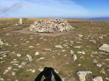
• Le sommet
Marche
Marche
20 randonnées affichées sur 38
Application GPS de randonnée GRATUITE
 SityTrail
IGN / Instituts géographiques
SityTrail World
Le monde est à vous