


5 km | 5,6 km-effort
Bordères-sur-l'Échez : découvrez les meilleures randonnées : 2 marche et 9 marche nordique. Tous ces circuits, parcours, itinéraires et activités en plein air sont disponibles dans nos applications SityTrail pour smartphones et tablettes.
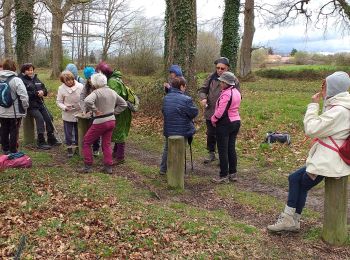
Marche nordique


• Bois du Commandeur côté Bordères sur Echez. Parcours pour organiser un jeu d'orientation départ du parking au croisem...
Marche

Marche nordique
• bois du commandeur bordères sur echez

Marche
Marche nordique
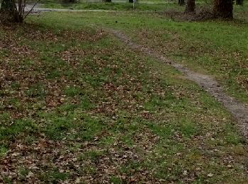
• Parcours un peu boueux
Marche nordique
• Parcours un peu boueux
Marche nordique
• Circuit MN-8 du club LPC de GER (64). Emprunte une partie du parcours sportif du Bois du Commandeur et monte sur la c...
Marche nordique
Marche nordique
Marche nordique
Marche nordique
11 randonnées affichées sur 11
Application GPS de randonnée GRATUITE
 SityTrail
IGN / Instituts géographiques
SityTrail World
Le monde est à vous