


13 km | 20 km-effort
Beaucens : découvrez les meilleures randonnées : 3 a pied, 75 marche et 2 marche nordique. Tous ces circuits, parcours, itinéraires et activités en plein air sont disponibles dans nos applications SityTrail pour smartphones et tablettes.
Marche


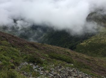
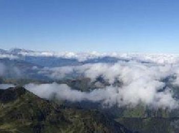
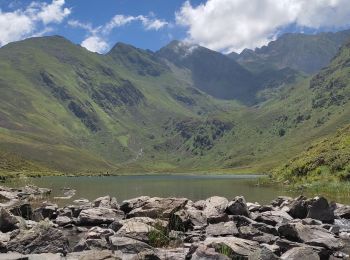
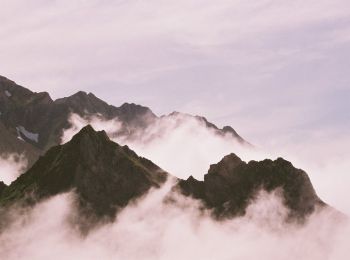
• belle rando sympathique, réalisée par temps brumeux, dommage pour la vue. on surplombe le lac d'Isaby .
Marche
• Très belle randonnée au depart du col de la muleta mais malheureusement pas faisable avec un G4 les 200 derniers mètr...
Marche
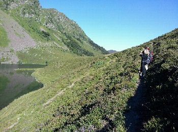
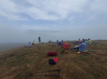
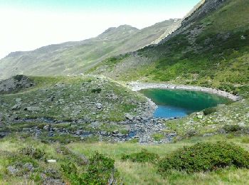
• BIVOUAC POSSIBLE AU LAC DE OUSSE.
Marche
•
Marche
Marche
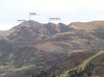
• Départ du col de Moulata à Hautacam. On passe en dessous du Pic de Barran, puis par le col de Barran pour aboutir au ...
Marche
• Départ du parking de Tramassens à la station de Hautacam. On passe par la Causse de Naouit et la cabane de Lhens avan...
Marche
Marche
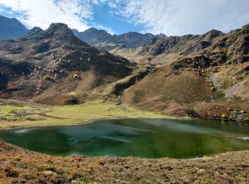
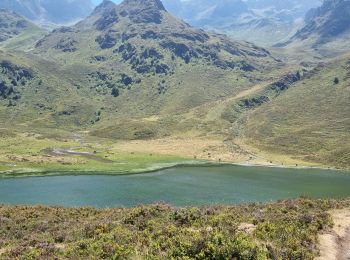
• 2 Beaux lacs
Marche

A pied
• pas de difficulté à part le petit raidillon avant la cabane
Marche

Marche
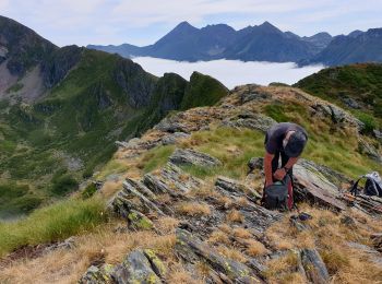
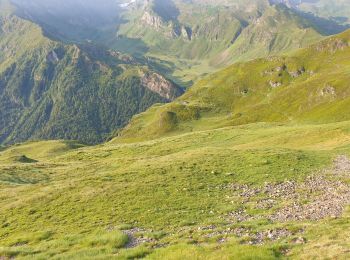
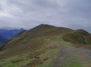
• massif du hautacam
Marche
• Une randonnée en boucle à partir du parking inférieur de la sation du Hautacam pour monter au Hautacam et rejoindre l...
Marche
• Tramassel Pic de Barran Pic du Mont Distance A/R 9.7km Dénivelé 630m Durée environ 3h00 Sortie facile, à réserver pur...
Marche
• Distance 12km Dénivelé 1080m Monter jusqu'au grand parking de Tramassel, et de là prendre la piste qui part sur la dr...
Marche
• rando Pic de Montaigu Départ Hautacam col de Tramassel > Pic de Barran > Col de Barran > col des Rosques > pic de Mo...
Marche
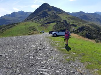
• Secteur de la station de ski de Hautacam
Marche
• A R
Marche
20 randonnées affichées sur 80
Application GPS de randonnée GRATUITE
 SityTrail
IGN / Instituts géographiques
SityTrail World
Le monde est à vous