


9,1 km | 18,9 km-effort
Sazos : découvrez les meilleures randonnées : 2 a pied et 35 marche. Tous ces circuits, parcours, itinéraires et activités en plein air sont disponibles dans nos applications SityTrail pour smartphones et tablettes.
Marche


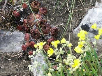
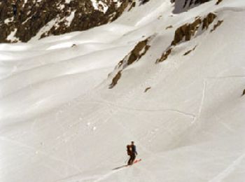
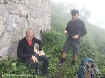
• Juin juste avec André, mais pas très haut car encore de la neige dans la montée vers les lacs d'Ardiden.Fleurs et mar...
Marche
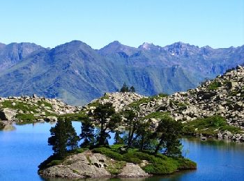
• Lac de Bastampe 2019m depuis Agnouède (1058m) Le lac de Bastampe est une curiosité naturelle avec son îlot garni de p...

Marche
Marche
• Départ des granges d'Aunis (route de Luz Ardiden) court passage en II sur le dernier ressaut
Marche
• belle boucle
Marche
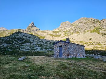
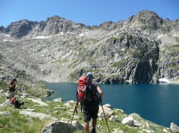
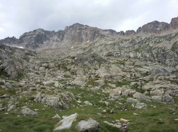
• Départ du hameau de Bernazau au-dessus de Grust. Après le lac Lagües pente à 40% pour arriver aux lacs d'Ardiden. Suc...
Marche
• Départ du hameau de Bernazau au-dessus de Grust. Après le lac Lagües pente à 40% pour arriver aux lacs d'Ardiden. Suc...
Marche
• Un belvédère exceptionnel présenté par Imag'In Pyrénées. Toutes les descriptions et les photos sont sur Montagne Cool
Marche
Marche
Marche

A pied
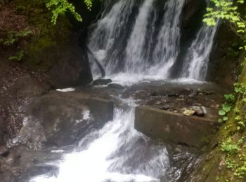
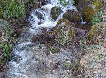
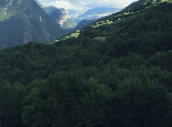
• superbe balade tant par les 3 villages traversés que par la beauté des sentiers, des cascades, des points de vue. Bre...
Marche
Marche
• Lac de Bastampe 2019m depuis Agnouède (1058m) Le lac de Bastampe est une curiosité naturelle avec son îlot garni de p...
Marche
Marche
• difficile
Marche
Marche
Marche
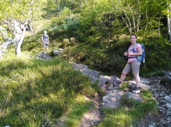
• Superbe randonnée parmis trois villages authentiques, très beaux chemins en forêt
Marche
• 1h de pose au lac, avec baignade.
20 randonnées affichées sur 37
Application GPS de randonnée GRATUITE
 SityTrail
IGN / Instituts géographiques
SityTrail World
Le monde est à vous