


11,9 km | 18,2 km-effort
Aucun : découvrez les meilleures randonnées : 4 a pied, 55 marche et 1 marche nordique. Tous ces circuits, parcours, itinéraires et activités en plein air sont disponibles dans nos applications SityTrail pour smartphones et tablettes.
Marche


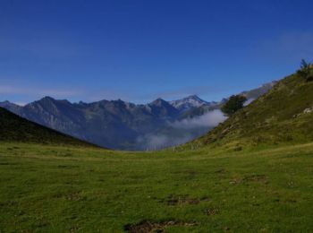
• Très belle randonnée verte et pastorale. Une partie hors sentier dans la montée beaucoup plus agréable que la piste.
Marche
Marche
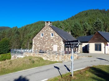
• Départ couraduque

Marche
• Le trajet est légèrement plus long, car l'enregistrement a été commencé après 2 km de marche environ ; pour cette rai...
Marche
• aller par la crête du soum de pêne retour par chemin
Marche
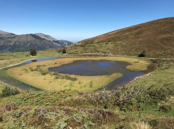
• Une jolie balade depuis le col de Coraduque jusqu'au lac de Soum en passant par le pic de Berbeillet, belvédère sur A...
Marche
• Garer la voiture au col de la Coraduque et remonter le chemin derrière le café. A la croisée des chemins au col de la...
Marche
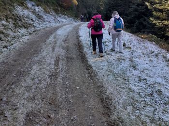
• Trek . pas par temps humide.
Marche
Marche
• Sympa l mais des pistes à la fin
Marche
• promenade en forêt
Marche
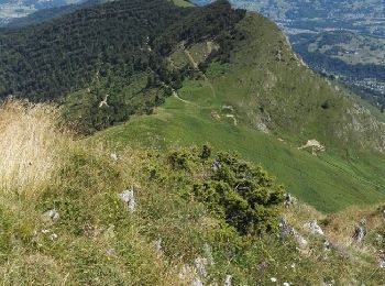
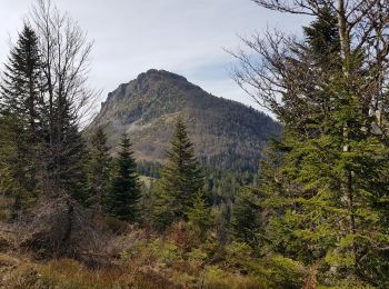
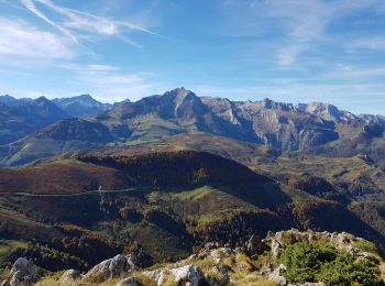
• Le Pic de Bazès 1804m depuis le col de Couraduque D'accès rapide et facile, le pic Bazès est un exceptionnel belvédèr...

Marche
• rando Pic de Bazès 02/11/2024 Alexandre
Marche
• randonnée à faire par beau. attention rester attentif pour les enfants. randonnée exigeante
Marche
• m
Marche
Marche
• Prévoir un départ à 9h15 de la station de Couraduque pour un PN vers 12h / 12h30 au sommet du Berbeillet. (le temps d...
Marche
Marche
• rando pic du Bazès 21/07/2021 Alexandre
Marche
• Départ du col de la Serre. La route goudronnée s'arrête au col de Couraduque mais la piste est carrossable jusqu'au c...
20 randonnées affichées sur 60
Application GPS de randonnée GRATUITE
 SityTrail
IGN / Instituts géographiques
SityTrail World
Le monde est à vous